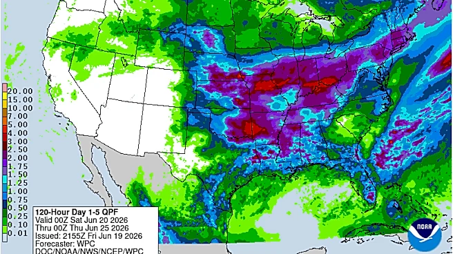


What's Happening?
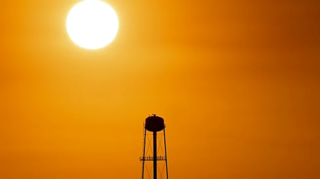
North Texas is set to experience a hot start to the summer season, coinciding with Father's Day and the Summer Solstice. The region will see temperatures in the mid-90s, with heat index values reaching 100 to 105 degrees. While most areas will enjoy sunshine
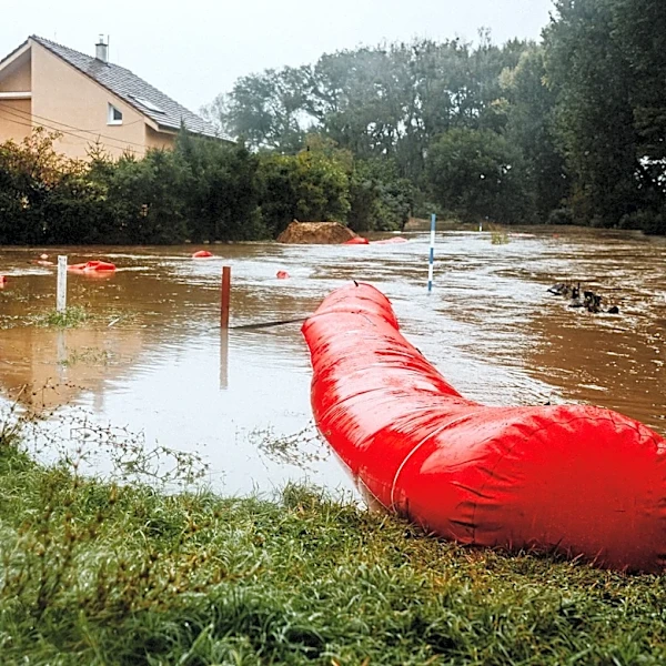
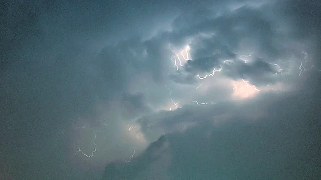
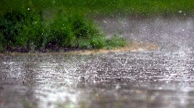
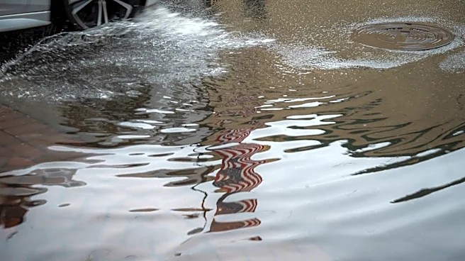
and dry conditions, there is a possibility of afternoon storms east of I-35, bringing threats of lightning, gusty winds, and localized flooding. The weather pattern is expected to remain active, with potential storms developing in the Plains and affecting North Texas through midweek.
Why It's Important?
The anticipated heatwave and storm activity in North Texas could have significant implications for public safety and infrastructure. High temperatures and severe weather conditions may lead to health risks, particularly for vulnerable populations. The potential for storms and flooding could disrupt transportation and daily activities, necessitating preparedness measures from local authorities and residents. The weather conditions also underscore the importance of monitoring climate patterns and their impact on regional weather systems.
What's Next?
Residents in North Texas should prepare for the possibility of severe weather and take precautions to stay hydrated and safe during the heatwave. Local authorities may issue weather advisories and updates as conditions evolve. The active weather pattern is expected to continue, with potential for further storms and high temperatures in the coming days. Monitoring weather forecasts and staying informed about potential risks will be crucial for residents and businesses in the region.