





What's Happening?
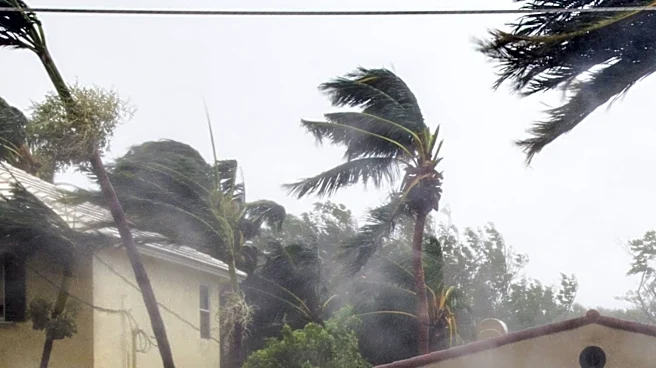
A significant weather event is unfolding as more than 25 million Americans are under threat from dangerous flash flooding along the Carolina coast. The remnants of Tropical Storm Bertha are contributing to a surge of warm, tropical moisture, which is expected
to cause widespread showers and thunderstorms. The National Weather Service has issued a Level 3 out of 4 flash flood risk for areas stretching from Wilmington, North Carolina, to Charleston, South Carolina. The situation is exacerbated by persistent drought conditions, which reduce the soil's ability to absorb water, increasing the likelihood of flooding.
Why It's Important?
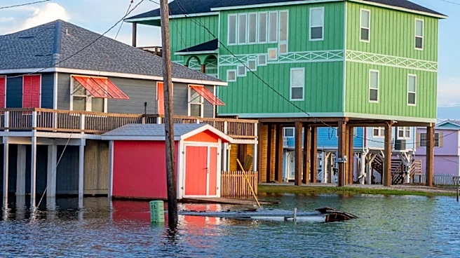
The potential for severe flooding poses a significant risk to communities along the Carolina coast, impacting infrastructure, homes, and local economies. The combination of drought and heavy rainfall creates a challenging scenario for emergency management and disaster response teams. This event underscores the importance of preparedness and resilience in the face of increasingly unpredictable weather patterns, which may be influenced by broader climate change trends. The economic impact could be substantial, affecting agriculture, tourism, and local businesses in the affected regions.
What's Next?
As the weather system continues to develop, authorities are closely monitoring the situation and advising residents to stay informed and prepared for potential evacuations. Emergency services are on high alert, ready to respond to any incidents of flooding. The ongoing weather conditions may prompt further advisories and warnings, with the potential for additional areas to be affected as the system moves inland. Long-term, this event may lead to discussions on improving infrastructure and community resilience to better handle such natural disasters in the future.