





What's Happening?
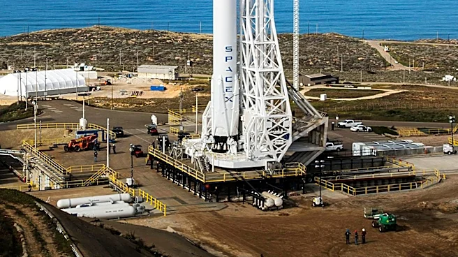
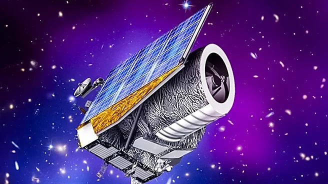
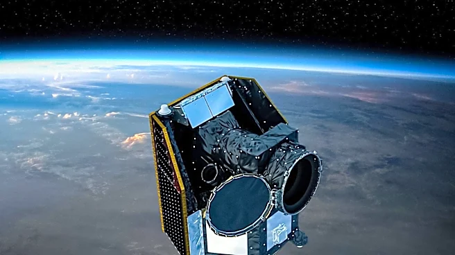
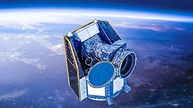
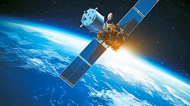
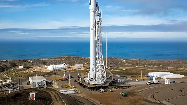
Three small satellites, part of the FireSat project, have been launched from Vandenberg Space Force Base as part of SpaceX's Transporter-17 rideshare mission. These satellites, built in the Bay Area, are equipped with advanced heat-mapping technology
designed to detect wildfires more quickly and accurately than existing systems. The FireSat satellites are a product of the Earth Fire Alliance, supported by Google and other partners, and aim to provide high-resolution coverage over fire-prone areas. The satellites will undergo a commissioning phase before becoming fully operational, with Cal Fire expected to receive data later this year.
Why It's Important?
The launch of the FireSat satellites represents a significant advancement in wildfire detection technology. By providing more frequent and detailed data, these satellites could greatly enhance the ability of firefighting agencies to respond to wildfires, potentially reducing damage and saving lives. The initiative also highlights the growing role of private and nonprofit partnerships in addressing environmental challenges. As wildfires become more frequent and severe due to climate change, improved detection and response capabilities are crucial for protecting communities and ecosystems.
What's Next?
The FireSat project plans to expand its satellite network to over 50 units, which would allow for imaging of fire-prone regions approximately every 20 minutes. This expansion aims to provide real-time data to firefighting agencies, improving their ability to manage and respond to wildfires. The focus will now shift to ensuring the reliability and integration of the satellite data into existing firefighting systems, which is essential for the technology to become a vital tool in wildfire management.