


What's Happening?
USGS researchers have successfully integrated NASA's imaging spectroscopy data with their Rangeland Condition Monitoring, Assessment, and Projection (RCMAP) model to improve the accuracy of vegetation mapping. This collaboration utilized data from NASA's Earth
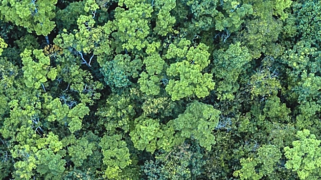
Surface Mineral Dust Source Investigation (EMIT) sensor, which offers hyperspectral imaging capabilities. These sensors can detect subtle differences in vegetation by observing Earth's surface through numerous spectral intervals, surpassing the capabilities of traditional multi-band sensors. The study demonstrated that hyperspectral data increased mapping accuracy by at least one-third in the study area, particularly enhancing the identification of herbaceous vegetation, litter, and sagebrush cover. Additionally, the integration of synthetic aperture radar (SAR) data from the Sentinel-1 satellite further improved the model's capabilities by about 7.5 percent.
Why It's Important?
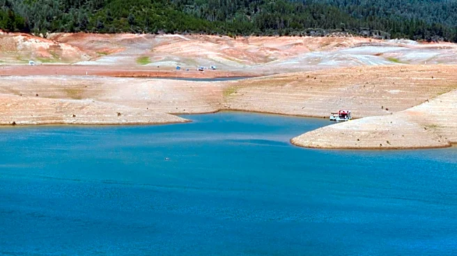
The improved accuracy in vegetation mapping has significant implications for land management and ecological monitoring. Accurate vegetation maps are crucial for assessing wildfire risks, managing invasive species, and maintaining rangeland ecosystem health. The enhanced mapping capabilities can aid land managers in making informed decisions about livestock grazing, wildfire prevention, and habitat conservation. This advancement also represents a step forward in utilizing advanced satellite technologies for ecological monitoring, potentially shaping the next generation of ecosystem management tools. The collaboration between USGS and NASA highlights the importance of integrating cutting-edge technology in environmental science to address complex ecological challenges.
What's Next?
The ongoing integration of advanced satellite data into ecological monitoring systems suggests a future where land management decisions are increasingly data-driven. As NASA continues to migrate its Earth science data into the Earthdata platform, researchers and land managers will have improved access to comprehensive datasets. This transition is expected to be completed by the end of 2026, potentially leading to further advancements in ecological monitoring and management. Stakeholders in environmental science and land management may anticipate more precise tools for monitoring vegetation changes, which could influence policy decisions and conservation strategies.
Beyond the Headlines
The use of hyperspectral data in vegetation mapping could have broader implications for environmental policy and conservation efforts. By providing more detailed and accurate data, policymakers can better understand the impacts of climate change and human activities on ecosystems. This could lead to more effective conservation strategies and land-use policies that prioritize ecological health. Additionally, the integration of advanced satellite technologies into environmental monitoring may inspire further innovations in remote sensing and data analysis, potentially transforming how ecological data is collected and utilized.