



What's Happening?
Severe thunderstorm warnings are in effect for parts of Massachusetts, New Hampshire, and Vermont, with a flood watch in place for Massachusetts and Connecticut through Wednesday. The region is experiencing several days of heavy rain due to a slow-moving
low-pressure system. The heaviest rain is expected on Wednesday, raising the risk of flash flooding across Massachusetts. Winds are also expected to increase, with gusts up to 35 mph, particularly near the Cape and Islands.
Why It's Important?
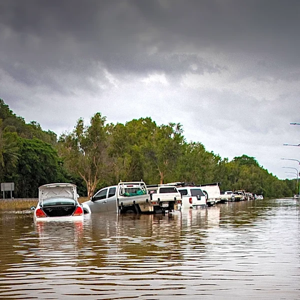
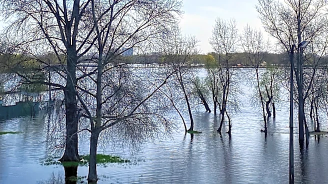
The severe weather conditions pose a significant risk to public safety and infrastructure in New England. Flash flooding could lead to road closures, property damage, and disruptions to daily life. The heavy rain and strong winds may also impact travel and outdoor activities. Residents are advised to stay informed and take precautions to protect themselves and their property.
What's Next?
The rain is expected to continue into Thursday, with a gradual decrease in intensity by Friday. Residents should remain vigilant for weather updates and be prepared for potential impacts on travel and daily activities. Local authorities and emergency services are likely to provide updates on road conditions and any necessary closures.