




What's Happening?
The National Weather Service (NWS) in Indianapolis, Indiana, issued a flash flood warning on July 27, 2026, effective from 5:28 PM EDT until midnight. The warning covers several counties in central Indiana, including Boone, Clinton, Hamilton, Madison,
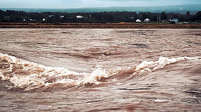
Tipton, Delaware, and Henry. At the time of the warning, Doppler radar indicated thunderstorms producing heavy rain across the area, with rainfall amounts between 0.5 and 2.5 inches already recorded. The expected rainfall rate was 2 to 4 inches per hour, leading to ongoing or imminent flash flooding. The primary hazards include flash flooding of small creeks and streams, urban areas, highways, streets, and underpasses, as well as other poor drainage and low-lying areas. Key locations at risk include Muncie, Anderson, Carmel, Fishers, and Noblesville.
Why It's Important?
Flash flooding poses a significant threat to public safety and infrastructure, particularly in urban areas where drainage systems can be quickly overwhelmed. The warning highlights the need for residents to remain vigilant and take precautions to protect themselves and their property. Flash floods can lead to road closures, damage to homes and businesses, and disruptions to daily life. The economic impact can be substantial, affecting local economies and necessitating costly repairs and recovery efforts. The warning also underscores the importance of timely and accurate weather alerts from agencies like the NWS, which are crucial for disaster preparedness and response.
What's Next?
Residents in the affected areas are advised to avoid flooded areas and seek higher ground if necessary. Local authorities and emergency services will likely be on high alert to respond to any incidents resulting from the flooding. The NWS will continue to monitor the situation and issue further warnings if necessary. In the aftermath, there may be assessments of damage and recovery efforts initiated to assist affected communities.