What's Happening?
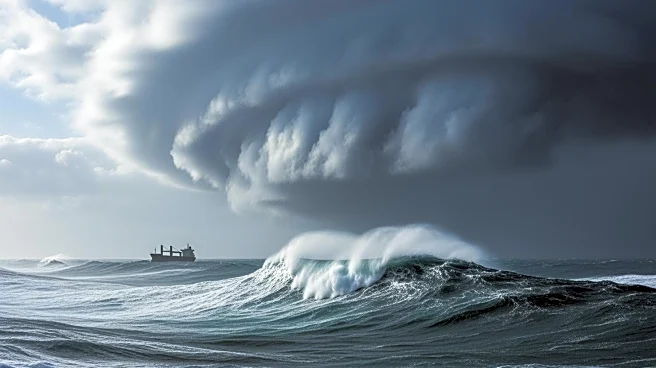
A rapidly intensifying storm in the North Atlantic is causing significant disruptions to shipping routes. The storm, characterized by a massive low pressure of 938 millibars, is producing winds up to 80 knots and seas reaching 54 feet. As a result, most
transatlantic shipping has diverted south to avoid the worst conditions. The storm is classified as a 'bomb cyclone' due to its rapid pressure drop, making it one of the most intense storms of the season. The severe weather has already caused casualties around the British Isles, including a grounded French trawler and a guard boat from an offshore wind farm.
Why It's Important?
The disruption of shipping routes in the North Atlantic has significant implications for global trade and supply chains. Shipping companies may face increased costs and delays as they reroute vessels to avoid the storm. The situation also highlights the challenges posed by extreme weather to maritime operations and the potential risks to crew safety. Additionally, the storm's impact on vessels near the British Isles raises environmental concerns, particularly regarding potential fuel spills from grounded ships. The event underscores the importance of robust weather forecasting and emergency response strategies in the maritime industry.
What's Next?
Shipping companies will continue to monitor the storm's progression and adjust routes as necessary to ensure safety. Efforts to salvage grounded vessels and prevent environmental damage are underway, with plans to defuel affected ships. The maritime industry may review and update safety protocols and contingency plans in response to the storm's impact. Long-term, there may be increased investment in technology and infrastructure to better predict and mitigate the effects of similar weather events on shipping operations.


