



What's Happening?
The polar vortex, a high-altitude band of westerly winds circling the Arctic, experienced an unprecedented early breakdown on November 10, with winds reversing direction. This event is the earliest recorded since the 1950s, beating the previous record by
18 days. While such collapses occur every few years, their occurrence in November is highly unusual. Scientists, including Adam Scaife at the Met Office, suspect a potential link to the exceptionally strong El Niño climate phase. El Niño typically strengthens the vortex in autumn and early winter before weakening it in late winter, allowing cold air to spill southwards. The current El Niño has already warmed tropical Pacific surface waters to record temperatures. The mechanism proposed involves El Niño-linked waves in the jet stream propagating upwards into the stratosphere, where they can crash into and weaken the polar vortex by pushing against its flow with easterly momentum. However, other factors, such as a high-pressure blocking system over Scandinavia, are also being considered as potential causes.
Why It's Important?
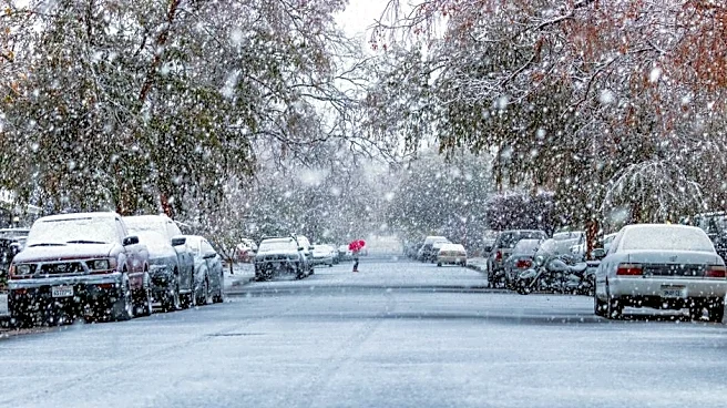
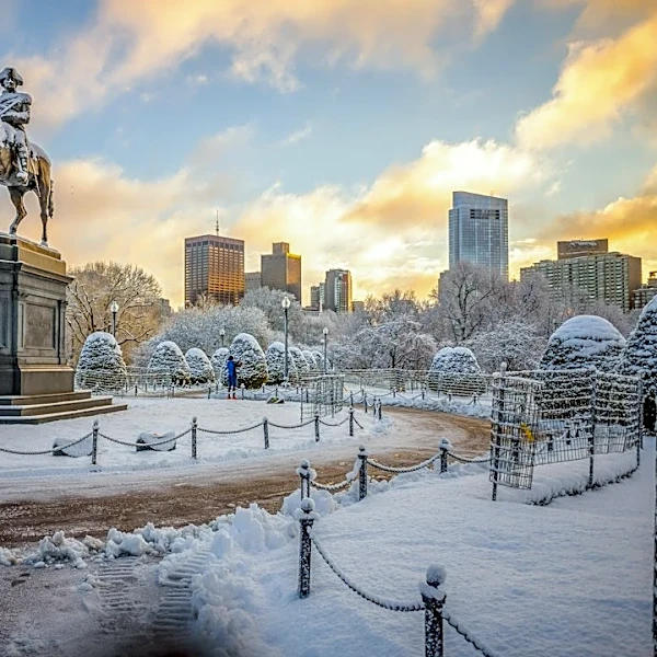
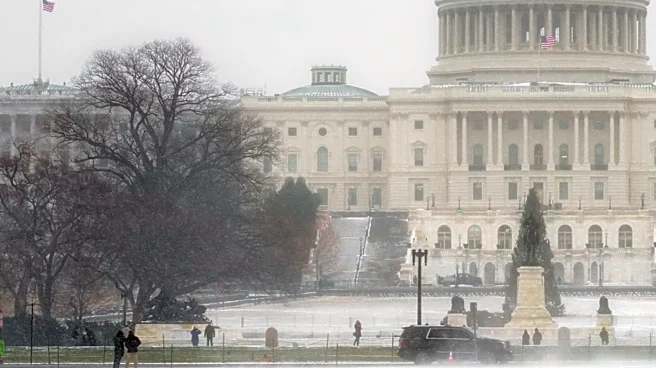
The early breakdown of the polar vortex has significant implications for winter weather patterns, particularly in Europe and potentially North America. A weakened polar vortex can lead to cold air spilling southwards from the Arctic, increasing the risk of severe cold and snowy conditions. Historically, a polar vortex breakdown preceded the 'Beast from the East' cold snap in 2018, which brought blizzards and caused fatalities in the UK. For the U.S., while the immediate impact is more focused on Europe, the interconnectedness of global weather systems means that such a significant atmospheric event could influence broader weather trends. Businesses reliant on predictable winter conditions, such as agriculture, transportation, and energy, could face disruptions. The potential link to El Niño also highlights the increasing influence of climate phenomena on extreme weather events, prompting further research into their interactions and long-term climate modeling.
What's Next?
While the polar vortex is expected to strengthen towards the end of November, bringing a temporary warming trend, there is a risk it could break down again later in the winter, according to Adam Scaife. This suggests that the potential for cold easterly winds and severe winter weather remains elevated. Scientists will continue to monitor the polar vortex and El Niño's progression to better understand their interaction and refine long-range weather forecasts. Further research is needed to definitively establish the causal link between the current El Niño and this early polar vortex breakdown. The findings will be crucial for improving climate models and preparing for future extreme weather events, allowing for better resource allocation and public safety measures in affected regions.
Beyond the Headlines
The early and unprecedented polar vortex breakdown, potentially influenced by El Niño, underscores the complex and often unpredictable nature of Earth's climate systems. This event highlights the challenges in attributing specific weather phenomena solely to one factor, as multiple atmospheric conditions can interact. The debate among scientists regarding the primary cause—whether El Niño or a blocking high-pressure system—reflects the ongoing scientific endeavor to unravel these intricate relationships. This incident also brings to the forefront the broader implications of a changing climate, where natural cycles like El Niño might be interacting with human-induced warming to produce more extreme or unusual weather patterns. Understanding these interactions is vital not only for immediate weather forecasting but also for long-term climate adaptation strategies and mitigating the impacts of a warming planet.