



What's Happening?
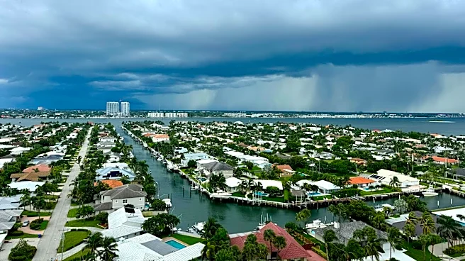
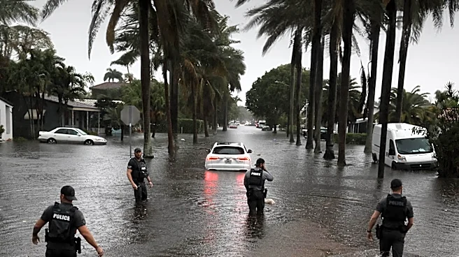
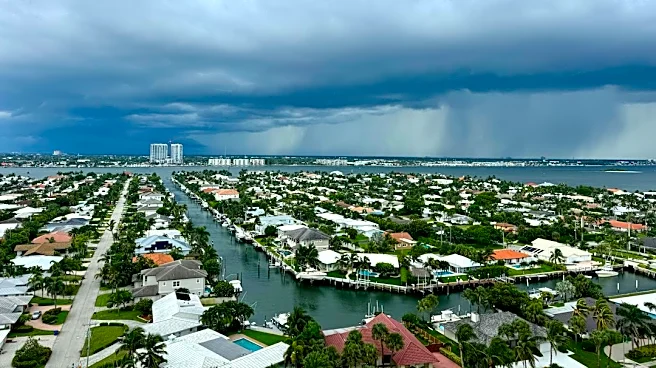
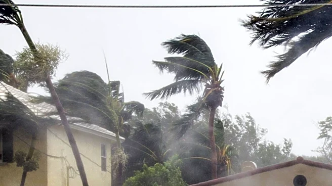
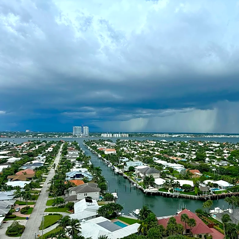
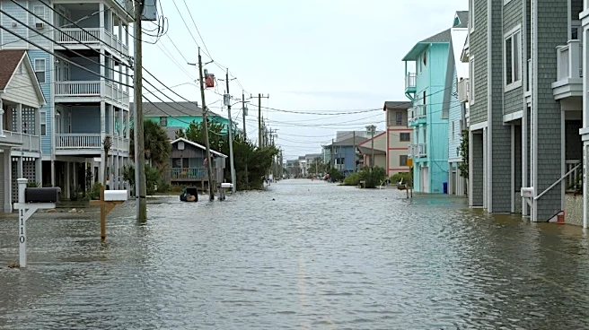
Coastal areas of Florida, particularly Broward County and parts of the northern Miami metropolitan area, are experiencing severe flooding due to torrential rainfall. Over a foot of rain, equivalent to more than three Novembers' worth, fell in Hollywood
within hours, with some areas reporting rainfall rates of 5 to 8 inches per hour. This deluge has led to road closures, including sections of Interstate 95 and Florida's Turnpike, stranded numerous vehicles, and caused water to enter some homes. Hollywood's mayor declared a state of emergency, urging residents to shelter in place. First responders have conducted water rescues, and the roof of Temple Sinai in Hollywood collapsed, though no injuries were reported. Schools, including all Broward County Public Schools and several Keiser University campuses, have been closed. The National Weather Service in Miami indicates that extreme rainfall events like this are becoming more frequent due to a warming climate, which allows the atmosphere to hold more moisture.
Why It's Important?
This ongoing flooding highlights the increasing vulnerability of Florida's coastal communities to extreme weather events, which are exacerbated by climate change. The economic impact is significant, with disruptions to transportation, damage to infrastructure, and potential losses for homeowners and businesses. The repeated nature of these events, following previous deluges, strains local emergency services and resources. The closures of schools and major roadways underscore the widespread disruption to daily life and commerce. Furthermore, the situation brings to the forefront the challenges of urban planning and infrastructure resilience in the face of changing weather patterns, particularly in densely populated coastal regions. The need for robust flood prevention measures and effective disaster preparedness strategies becomes critically important for protecting lives and property.
What's Next?
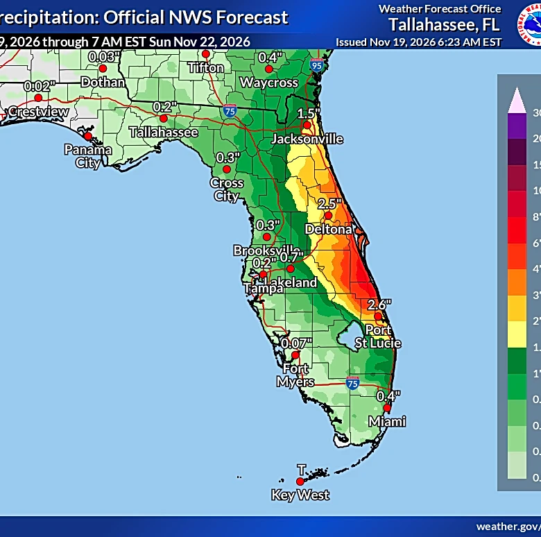
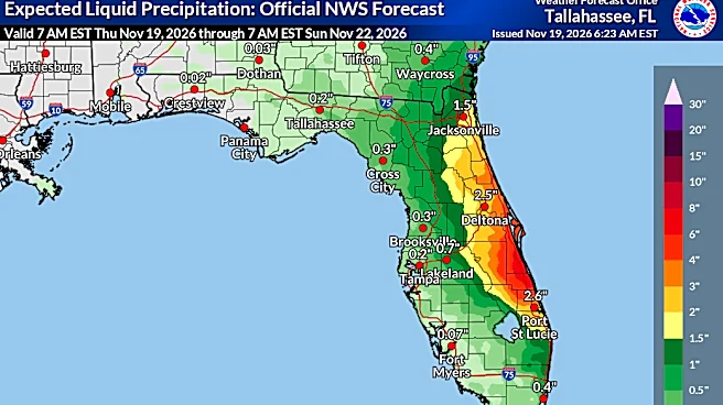
The severe flood threat is expected to continue along Florida's Atlantic coast, with the area of most concern shifting north to include locations along the Space Coast that previously experienced historic rainfall. A widespread 3 to 6 inches of rain is anticipated across eastern Florida through Friday, with some areas potentially receiving 8 to 12 inches or more. This could mean four Novembers' worth of rain in just a few days for locations like Daytona Beach. After drenching Florida, the developing storm is projected to move north, potentially impacting travel during the busy pre-Thanksgiving weekend along the East Coast. Forecast models are still determining the storm's exact path, but two scenarios are being considered: one where it tracks near or into the southeast coast and then moves into the Northeast by Monday, bringing rain, wind, and coastal flooding, and another where it stays along the southeast coast before heading out to sea. There is also a medium chance the system could transition into a tropical or hybrid storm.
Beyond the Headlines
The recurring and intensifying flood events in Florida underscore a broader national challenge related to climate change and urban development. The disproportionate impact on vulnerable populations, such as low-wage workers, older adults, and those in low-lying areas with limited resources, highlights social equity concerns in disaster preparedness and recovery. The strain on local governments to fund and implement adequate infrastructure improvements, such as drainage systems and flood prevention measures, is immense. This situation also raises questions about insurance coverage, property values in high-risk areas, and the long-term sustainability of coastal living. The need for integrated approaches that combine climate adaptation strategies with community-led planning and investment in resilient infrastructure is becoming increasingly urgent to mitigate future damages and protect at-risk communities.