What's Happening?
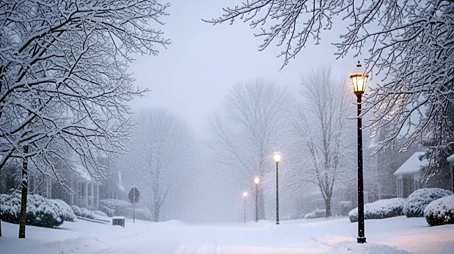
New Jersey experienced a significant winter storm over the weekend, with snowfall totals reaching up to 17 inches in some areas. Sussex County reported the highest snowfall, with Branchville and Stockholm receiving 17 inches. The storm caused widespread
travel disruptions, school closures, and warnings about dangerous road conditions due to black ice. The National Weather Service has issued advisories for potentially record cold temperatures and wind chills below zero. The storm has already resulted in Trenton-Mercer Airport receiving more than double the average snowfall for this time of year.
Why It's Important?
The heavy snowfall and subsequent disruptions highlight the vulnerability of infrastructure and public services to extreme weather events. The storm's impact on transportation and education systems underscores the need for preparedness and effective response strategies. The economic implications are significant, as businesses and schools face closures and delays. The storm also raises concerns about public safety, with authorities urging caution on icy roads. The event serves as a reminder of the increasing frequency and intensity of winter storms, possibly linked to broader climate patterns.
What's Next?
With another potential winter storm on the horizon, New Jersey residents and authorities must remain vigilant. Preparations for additional snowfall and cold temperatures will be crucial in minimizing further disruptions. School districts and businesses may need to adjust schedules and operations to accommodate weather conditions. The state may also consider long-term strategies to enhance infrastructure resilience and emergency response capabilities in anticipation of future storms.


