



What's Happening?
The National Weather Service Jacksonville FL has issued a Small Craft Advisory for the Atlantic coastal waters from Altamaha Sound, GA, to Flagler Beach, FL, extending out to 60 nautical miles. This advisory is in effect through Sunday morning, November
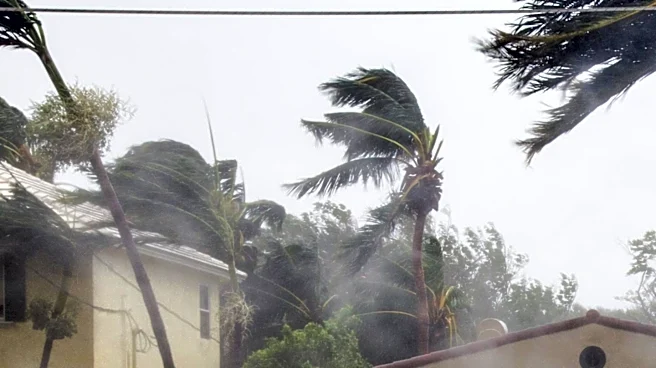
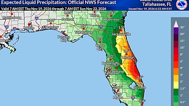
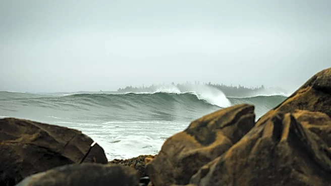
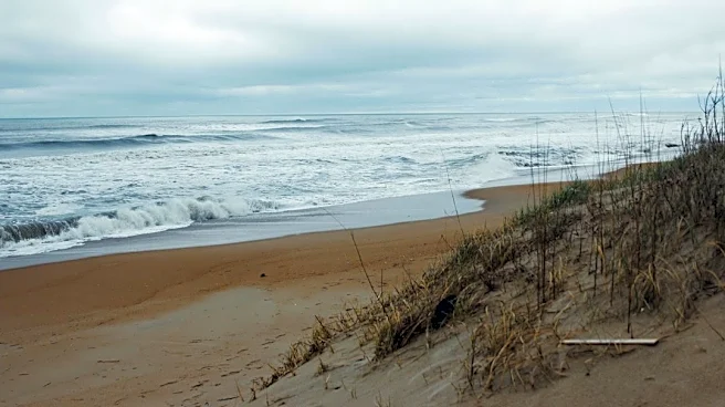
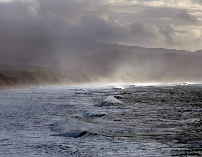
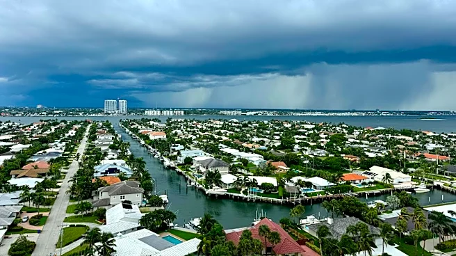
22, 2026. Mariners in these areas are advised to exercise caution due to hazardous marine conditions. East winds are expected to range from 25 to 30 knots, with seas reaching 8 to 11 feet, occasionally up to 14 feet, and wave details indicating east 11 feet at 9 seconds. Intracoastal waters are forecasted to be very rough. Showers are also expected, with a slight chance of thunderstorms. Conditions are anticipated to persist, with periods of Gale Force wind gusts possible, particularly across northeast Florida waters. A strong high-pressure system over the Carolinas is contributing to these conditions, wedging down the southeastern seaboard through Saturday before weakening. Coastal troughing will continue to bring widespread rainfall and potential thunderstorms through Friday.
Why It's Important?
This Small Craft Advisory is crucial for maritime safety and economic activities along the coasts of Northeast Florida and Southeast Georgia. The forecasted high winds and rough seas pose significant risks to small vessels, potentially leading to capsizing, damage, or loss of life. Commercial fishing operations, recreational boating, and coastal tourism industries will likely experience disruptions, resulting in economic losses. The extended duration of the advisory, coupled with potential Gale Force wind gusts, could impact shipping lanes and port operations, affecting supply chains and trade. Furthermore, the widespread rainfall and thunderstorms could lead to localized flooding in coastal communities, impacting infrastructure and public safety. The advisory underscores the importance of adhering to weather warnings to prevent maritime incidents and protect coastal livelihoods.
What's Next?
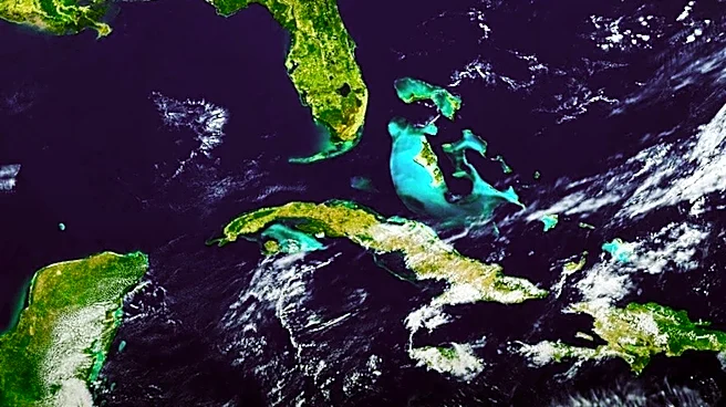
Small Craft Advisory conditions are expected to continue through at least Sunday morning. The National Weather Service indicates that Gale Watches and Warnings may be required for the northeast Florida waters by Friday afternoon or evening, suggesting a potential escalation of hazardous conditions. A low-pressure system developing near the northern Bahamas on Friday is forecast to move north or northeastward along the Gulf Stream waters, potentially acquiring subtropical or tropical characteristics as it strengthens and moves away from local waters. Prevailing winds will shift to northerly by Saturday afternoon and then northwesterly on Saturday night and Sunday, which should allow seas to gradually subside by late in the weekend. Mariners and coastal residents should continue to monitor updated forecasts from the National Weather Service for any changes to the advisory or the issuance of higher-level warnings.
Beyond the Headlines
The persistent and severe marine weather conditions highlighted by this Small Craft Advisory underscore the broader challenges faced by coastal regions due to dynamic weather patterns. The potential for a low-pressure system to acquire subtropical or tropical characteristics, even in late November, points to the evolving nature of weather systems and the need for continuous vigilance. This event also highlights the interconnectedness of atmospheric and oceanic phenomena, with a strong high-pressure system influencing wind patterns and a developing low-pressure system contributing to rainfall and potential storm development. The economic impact on maritime industries and coastal communities, even from advisories, can be substantial, emphasizing the critical role of accurate and timely weather forecasting in mitigating risks and ensuring public safety and economic stability.