



What's Happening?
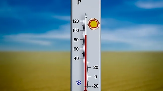
Central Florida is currently under a heat advisory, with temperatures expected to reach the mid-90s and heat index values climbing to dangerous levels. This advisory is in effect across all of East Central Florida from 10 a.m. to 8 p.m. on Wednesday.
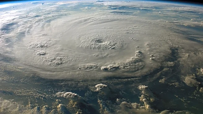
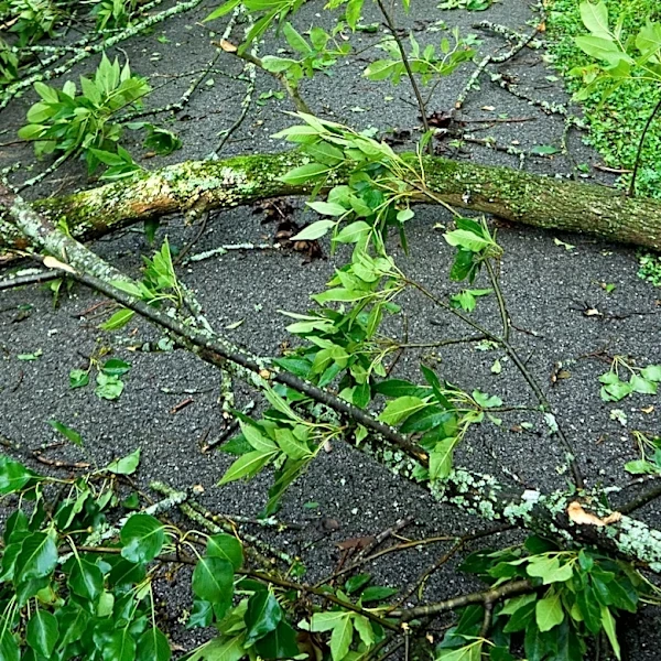
Concurrently, a moist and unstable atmosphere is fueling the development of scattered to numerous storms. These storms are anticipated to begin along Florida’s west coast before moving eastward throughout the afternoon. There is a possibility that a delayed east coast sea breeze could trigger additional storms later in the day. Some of these storms could become strong, bringing wind gusts of 45 to 55 mph, frequent lightning, and heavy downpours. Localized flooding is also a concern, as some areas could quickly receive 1 to 3 inches of rain. The active summer weather pattern, characterized by daily rain and storm chances of 40 to 60 percent, is expected to persist through next week due to a stalled front across the Southeast and abundant tropical moisture.
Why It's Important?
The combination of extreme heat and potential severe storms poses significant public health and safety risks for residents and visitors in Central Florida. High heat index values can lead to heat-related illnesses, making it crucial for individuals to take precautions. The threat of strong winds, frequent lightning, and heavy rainfall from developing storms can disrupt daily activities, cause power outages, and create hazardous driving conditions. Localized flooding, a potential consequence of heavy downpours, can damage property and infrastructure, impacting businesses and residents. The persistent active summer weather pattern means these conditions are not isolated incidents but rather an ongoing concern, requiring continuous monitoring and preparedness from emergency services and the public. This situation highlights the broader challenges faced by regions susceptible to extreme weather events, impacting local economies and public services.
What's Next?
The intense heat is expected to remain a concern through at least Thursday, with the possibility of another heat advisory for parts of Central Florida on Thursday and potentially Friday. By the weekend, an increase in cloud cover and daily storm coverage is anticipated to help temperatures trend closer to normal. While the most extreme heat should gradually ease, it will still be hot and humid, with heat index values continuing to top 100 degrees each afternoon. The usual summertime hazards, including frequent lightning, gusty winds, and locally heavy rainfall, will persist. Residents should continue to monitor weather updates from sources like the News 6 Weather team and take necessary precautions to stay safe during these conditions.
Beyond the Headlines
The recurring pattern of extreme heat and severe weather in Central Florida underscores the broader implications of climate trends on regional weather patterns. The sustained high temperatures and increased storm activity could lead to long-term impacts on infrastructure, public health systems, and local economies. Businesses, particularly those in tourism and agriculture, may face operational challenges and financial losses due to weather-related disruptions. The need for robust urban planning and infrastructure development that can withstand such conditions becomes more critical. Furthermore, public awareness and education campaigns on heat safety and storm preparedness will be essential to mitigate risks and build community resilience against these evolving environmental challenges. This situation reflects a growing need for adaptive strategies in regions experiencing more frequent and intense weather events.