


What's Happening?
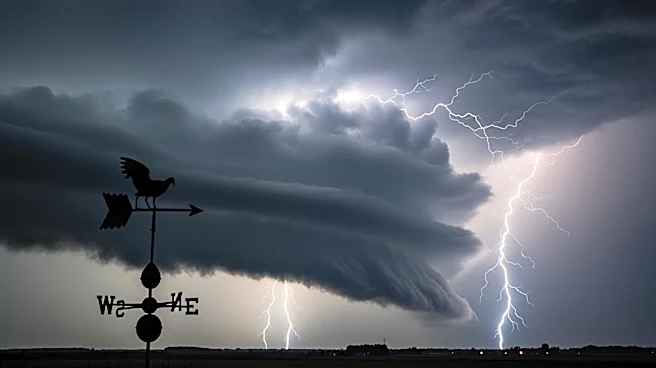
Central Florida is currently under a tornado watch until 6 p.m. as severe weather conditions are expected to develop. A cold front moving into the state is predicted to trigger scattered storms from early afternoon into the evening, with the highest storm coverage
anticipated near and north of the I-4 corridor, including the Orlando metro area. The storms are expected to bring damaging wind gusts, heavy rain, and frequent lightning. The primary threat is strong winds capable of downing trees or power lines, with a low risk of brief tornadoes or hail. Temperatures are expected to rise into the low to mid-90s, posing a moderate heat risk. A wind advisory is also in effect, with gusts of 30 to 35 mph expected, particularly north of Orlando.
Why It's Important?
The severe weather poses significant risks to residents and infrastructure in Central Florida. The potential for damaging winds and tornadoes could lead to power outages and property damage. The heat risk adds another layer of concern, particularly for vulnerable populations without access to cooling. The combination of high temperatures, dry conditions, and gusty winds also elevates the fire danger, prompting officials to discourage outdoor burning. This situation underscores the importance of preparedness and awareness in the face of severe weather events, which can have widespread impacts on safety and daily life.
What's Next?
As the storms progress, residents are advised to stay informed through local weather updates and take necessary precautions. The severe weather is expected to move southward through the evening, with cooler air arriving on Sunday. This shift will bring a noticeable drop in temperatures, with highs in the upper 70s and low 80s, and a breezy north to northeast wind. While rain chances will linger in southern areas, drier air and sunshine are expected to return to the north.