


What's Happening?
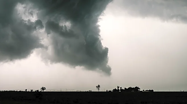
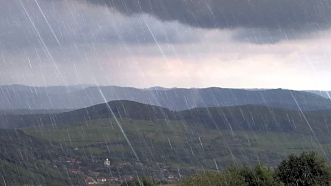
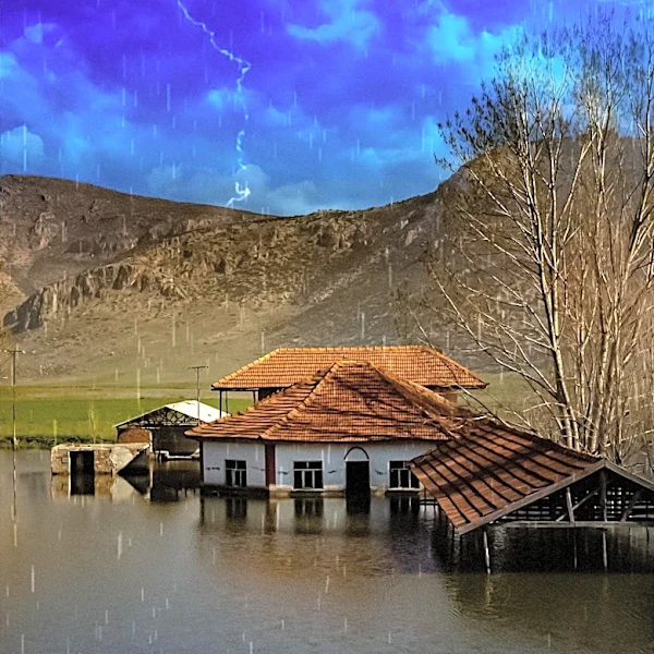
Central and north-central Montana, including Great Falls and Helena, are experiencing a period of wet and cooler weather. A powerful Pacific storm system is bringing widespread rain and thunderstorms to the region, which began Sunday evening and is expected
to continue through early Tuesday. The heaviest precipitation is anticipated Monday night into early Tuesday, with local heavy amounts possible, particularly near the Continental Divide. This could lead to rapid rises in streams, creeks, and poor-drainage locations. Conditions are forecast to gradually improve later in the week, with a drying trend taking hold by Wednesday and pleasant late-summer weather expected by Friday. However, another potential storm system is projected to approach the Northern Rockies next weekend, bringing renewed chances of unsettled weather and cooler temperatures.
Why It's Important?
This prolonged period of heavy rainfall carries significant implications for agricultural interests, waterways, and low-lying areas across central and north-central Montana. The accumulation of precipitation, with many areas expected to receive at least one-half inch, necessitates monitoring to prevent potential flooding and erosion. For farmers and ranchers, excessive moisture can impact crop health and livestock management. The fluctuating weather patterns, from cool and damp conditions to a brief drying trend and then another potential storm, highlight the challenges of weather variability for local communities and industries. The potential for early-season mountain snow at higher elevations next weekend also signals a shift towards colder weather, which could affect outdoor activities and infrastructure.
What's Next?
Residents in Great Falls, Helena, and surrounding communities should prepare for continued widespread rain and embedded thunderstorms through early Tuesday. Monitoring of agricultural interests, waterways, and low-lying areas is advised due to accumulating rainfall. Following the initial storm, a drying trend is expected from Wednesday to Friday, bringing partial sunshine and more comfortable temperatures. However, attention will then turn to a new weather system with a 70 percent chance of unsettled weather arriving next weekend. This could bring cooler temperatures and renewed precipitation, with the possibility of early-season mountain snow at the highest elevations. Residents are encouraged to stay updated on local forecasts as details for the upcoming weekend become clearer.
Beyond the Headlines
The recurring pattern of significant weather systems impacting Montana underscores the broader challenges of climate variability and its effects on regional ecosystems and human activities. The potential for rapid rises in streams and creeks highlights the vulnerability of local infrastructure and the importance of effective water management strategies. Beyond immediate concerns, such weather events can influence long-term agricultural planning, water resource allocation, and emergency preparedness protocols. The mention of early-season mountain snow also points to the dynamic nature of the Northern Rockies' climate, where shifts between seasons can be abrupt and impactful, affecting everything from tourism to local economies reliant on natural resources.