




What's Happening?
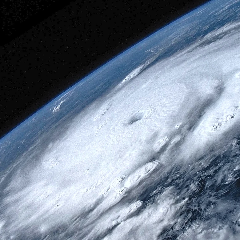
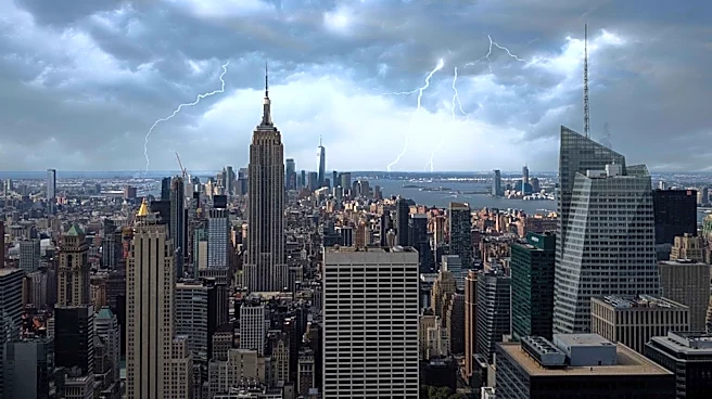
Baltimore is experiencing an unsettled weather pattern characterized by tropical humidity, which is expected to persist into the weekend. The National Weather Service has issued a severe thunderstorm watch for the majority of Maryland, effective until
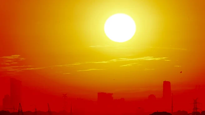
9 p.m. on Friday and Saturday. The forecast predicts temperatures reaching the low 90s, with heat index values soaring into the 100s. Residents should prepare for tropical downpours and scattered storms, which could bring damaging winds and flash flooding. The weather is expected to clear up slightly on Sunday and Monday, although the heat and humidity will remain.
Why It's Important?
The severe weather conditions pose significant risks to public safety and infrastructure in Baltimore and surrounding areas. Flash flooding and damaging winds can lead to property damage, power outages, and disruptions in daily activities. The high heat index values also raise concerns about heat-related illnesses, particularly for vulnerable populations such as the elderly and those with pre-existing health conditions. The situation underscores the importance of emergency preparedness and the need for residents to stay informed about weather updates and safety advisories.
What's Next?
Residents are advised to monitor local weather reports and heed any warnings or advisories issued by authorities. Preparations should include securing outdoor items, having emergency supplies ready, and planning for potential power outages. The local government and emergency services are likely to remain on high alert to respond to any incidents resulting from the severe weather. Community members should also check on neighbors, especially those who may need assistance during extreme weather conditions.