
What's Happening?
The agricultural mapping services market is experiencing significant growth, driven by advancements in geospatial technologies and precision agriculture. In 2024, the market was valued at $6.2 billion and is projected to reach $8.7 billion by 2031, with a compound annual growth rate (CAGR) of 5.1%. This growth is fueled by the integration of satellite imagery, drones, Geographic Information Systems (GIS), and data analytics, which provide farmers with critical insights into soil health, crop vitality, and irrigation efficiency. North America leads the market due to its large-scale commercial farming operations and government subsidies for modern farming technologies. Europe follows closely, driven by sustainability regulations, while Asia Pacific is emerging as the fastest-growing region due to increasing mechanization and policy support for precision agriculture.
Why It's Important?
The expansion of the agricultural mapping services market is crucial for enhancing farming efficiency and sustainability. Precision agriculture, which is the largest application segment, helps optimize yields and reduce input wastage, promoting resource-efficient farming. This growth supports the global push for climate-smart agriculture, enabling farmers to comply with eco-friendly practices and minimize environmental impact. The integration of AI, big data analytics, and UAVs transforms mapping services into real-time decision-making tools, offering predictive insights into yield forecasts and resource optimization. As the market grows, it provides opportunities for agribusinesses, smallholder farmers, and government agencies to improve productivity and ensure food security.
What's Next?
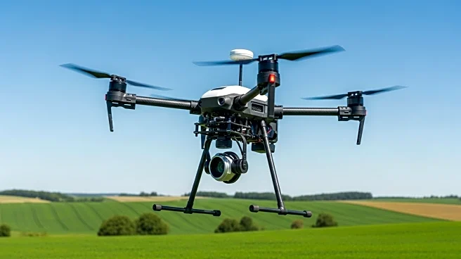
The market is expected to continue its expansion, with significant opportunities in AI and big data analytics integration. UAVs (drones) are becoming increasingly important, offering cost-effective solutions for real-time, high-resolution imagery. Government-led digital farming initiatives worldwide are likely to accelerate adoption, particularly in developing regions. However, challenges such as data privacy concerns and the digital divide in rural areas remain. Addressing these issues will be crucial for widespread adoption and maximizing the benefits of agricultural mapping services.
Beyond the Headlines
The growth of agricultural mapping services also raises ethical and legal considerations regarding data privacy and security. Farmers are concerned about the misuse of sensitive geospatial data related to land ownership and production capacity. Additionally, the digital divide poses a barrier to adoption in developing regions, where farmers may lack access to reliable internet or affordable mapping tools. Overcoming these challenges will require collaborative efforts from technology providers, governments, and civil society to ensure equitable access and data protection.