


What's Happening?
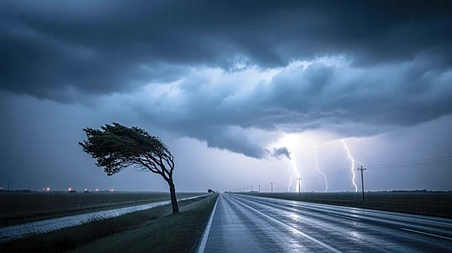
A severe storm system is moving across the United States, bringing a mix of heavy snow, high winds, and severe thunderstorms. The National Weather Service has issued warnings for the eastern half of the country, with the most significant threats expected
on Monday. The storm has already caused heavy snowfall in the Upper Midwest, making roads impassable in areas like Minnesota and Wisconsin. As the system moves eastward, it is expected to bring severe thunderstorms, damaging winds, and tornadoes to the mid-Atlantic states, including Washington, D.C. The storm is also affecting air travel, with hundreds of flight cancellations reported, particularly in Minneapolis-Saint Paul International Airport.
Why It's Important?
The storm poses significant risks to life and property across a large portion of the United States. The combination of snow, wind, and severe thunderstorms could lead to widespread power outages, travel disruptions, and damage to infrastructure. The economic impact could be substantial, affecting industries reliant on transportation and logistics. Additionally, the threat of tornadoes in densely populated areas raises concerns for public safety and emergency response capabilities. The storm's impact on major airports could have ripple effects on national and international travel.
What's Next?
As the storm progresses, it is expected to move into the Appalachians and then towards the East Coast. The National Weather Service has indicated that severe thunderstorms with damaging winds and tornadoes are likely to occur on Monday. Emergency services and local governments are preparing for potential evacuations and power outages. Residents in affected areas are advised to stay informed and take necessary precautions to ensure their safety.