



What's Happening?
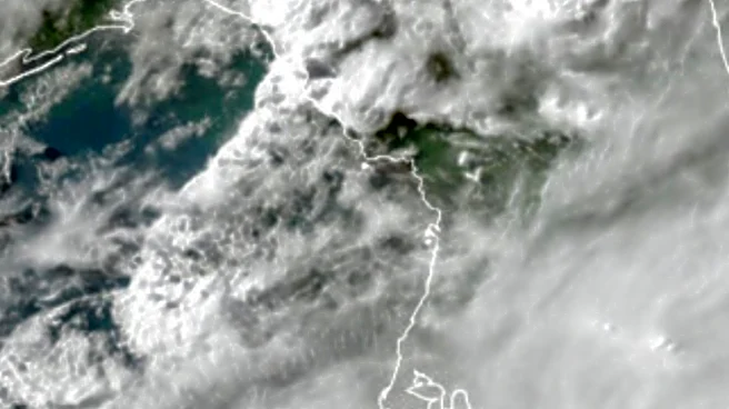
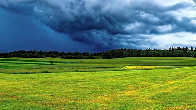
The Alabama Emergency Management Agency (EMA) has announced a shift to a wetter weather pattern this weekend, with scattered showers and thunderstorms expected across the southwestern and southern sections of Alabama. The advisory, issued by meteorologist
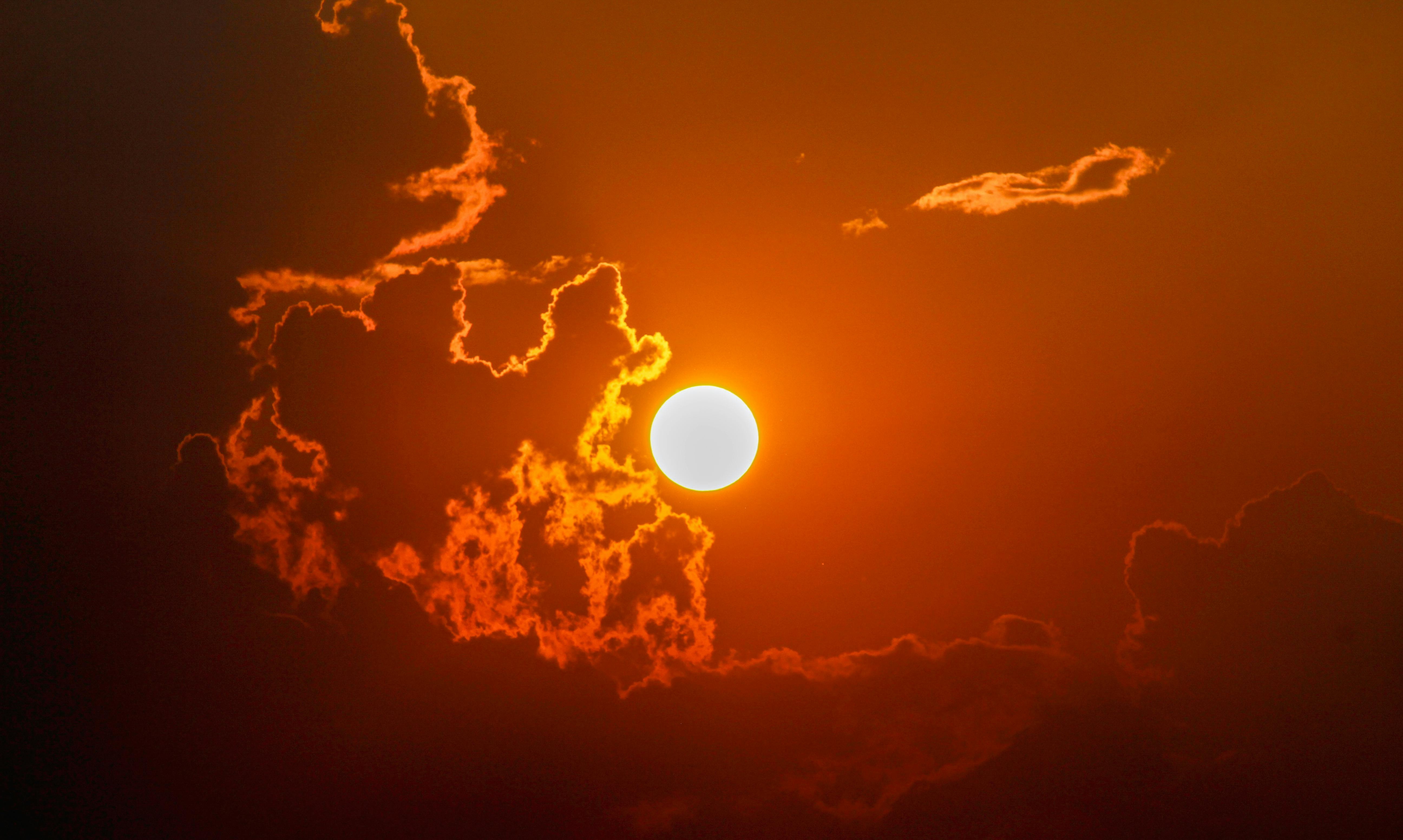
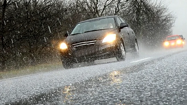
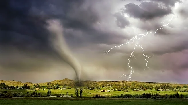
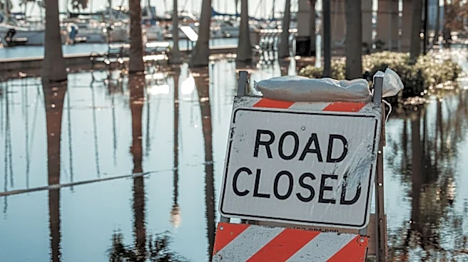
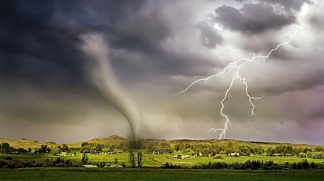
Jim Stefkovich, highlights the potential for heavy rain and flooding, particularly in urban areas, during the afternoon and evening hours on Saturday and Sunday. A heat advisory is also in effect for the southern sections of the state, with heat index values expected to reach between 108-112 degrees Fahrenheit. The EMA warns that some storms could produce wind gusts of 40-60 mph. The forecast for Monday and Tuesday includes scattered thunderstorms mainly in the afternoon and evening.
Why It's Important?
The weather advisory is significant as it highlights the potential for severe weather conditions that could impact residents and infrastructure in Alabama. Heavy rain and flooding pose risks to urban areas, potentially affecting transportation, property, and public safety. The heat advisory underscores the ongoing challenges of extreme weather, which can lead to health risks such as heat exhaustion and heat stroke. The EMA's warnings aim to prepare residents and local authorities to mitigate the impact of these weather events, emphasizing the importance of staying informed and taking necessary precautions.
What's Next?
Residents in the affected areas are advised to stay updated on weather forecasts and heed any warnings or instructions from local authorities. The EMA will continue to monitor the weather conditions and provide updates as necessary. Local governments and emergency services may need to prepare for potential flooding and storm damage, ensuring that resources and personnel are ready to respond to any emergencies. Community members are encouraged to secure outdoor items, prepare for possible power outages, and have emergency kits ready.