





What's Happening?
Insta360 is rolling out a new feature called Spatial Capture for its recent 360 cameras, including the X4 Air, X5, and the flagship X6. This technology allows users to recreate real-world spaces in 3D using 3D Gaussian splatting. To utilize the feature,
users record a few minutes of high-resolution video (up to 8K at 50fps) by slowly walking around a space. The footage is then uploaded to Insta360's cloud servers for processing, which can take between 60 to 120 minutes. The resulting 3D environment can be viewed within the Insta360 app or via a web link, offering an interactive experience similar to a video game where users can move and look around the captured space. The current limitation for recording is 2 minutes of footage, suitable for spaces smaller than 100 square meters (approximately 1,000 square feet).
Why It's Important?
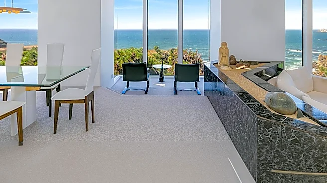
This new Spatial Capture feature represents a significant advancement in how physical spaces can be digitally represented and shared. For industries such as real estate, it could revolutionize property showings by offering immersive virtual tours that go beyond static 360-degree photos, allowing potential buyers to freely navigate and explore properties. Museums and cultural institutions could create detailed 3D models of their exhibits, making them accessible to a global audience and enhancing virtual learning experiences. The technology democratizes 3D spatial capture, making it available to a broader user base without requiring expensive specialized equipment or extensive programming knowledge. This could foster innovation in virtual content creation and change how people interact with and experience remote locations, potentially reducing the need for physical travel in certain contexts.
What's Next?
Insta360 plans to make the Spatial Capture feature available to all owners of its recent 360 cameras starting September 28. Users will be able to create four spatial captures per month for free, with additional renders costing $1 each. The company is also exploring options to allow embedding of these 3D results on other webpages, which would significantly expand their utility and reach. As more users adopt this technology, there will likely be a push for increased recording limits and larger capture areas. Further developments could include enhanced integration with virtual reality (VR) platforms, offering even more immersive experiences, and potential applications in fields like urban planning, construction, and tourism, where detailed 3D models of environments are highly valuable.
Beyond the Headlines
The introduction of accessible 3D spatial capture technology has broader implications for digital interaction and the concept of 'presence.' By enabling users to create and share highly realistic, navigable 3D environments, it blurs the lines between physical and virtual spaces. This could lead to new forms of digital storytelling, virtual tourism, and remote collaboration. Ethical considerations may arise regarding privacy, as the ease of capturing and sharing detailed 3D models of private or public spaces could lead to concerns about surveillance or unauthorized digital replication of environments. Furthermore, the technology could influence how we perceive and value physical spaces, potentially shifting focus towards their digital counterparts for certain interactions and experiences, fostering a more 'digitally native' understanding of our surroundings.