

What's Happening?
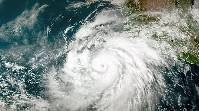
A strengthening Pacific weather system, fueled by moisture from former Typhoon Cempaka, is expected to bring the wettest weather of the fall season to western Washington on Saturday night. This system, which has characteristics of an atmospheric river,
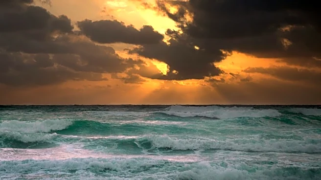
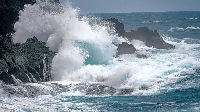
is anticipated to sweep onshore, causing strong blustery winds and rough seas. Coastal areas are forecast to experience peak wind gusts up to 60 mph, while the North Sound could see gusts up to 50 mph. Elsewhere in western Washington, southerly winds of 20 to 30 mph with gusts up to 40 mph are expected. Heavy rainfall is also predicted, with up to two inches along the coast and up to four inches in the Olympics and Cascades, accompanied by elevated snow levels around 5,000 feet.
Why It's Important?
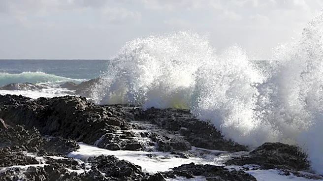
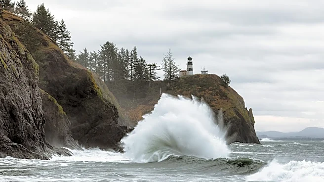
This storm poses significant risks to residents and infrastructure across western Washington. The strong winds could lead to widespread power outages, particularly in areas with more tree leaves that can clog storm drains and increase the likelihood of falling branches. Rough seas and waves reaching up to 25 feet along the coast present hazards for maritime activities and coastal communities, with risks of rapid beach run-up and sneaker waves. While no significant flooding is anticipated for rivers due to dry conditions in October, localized ponding on roadways from heavy rain and clogged storm drains is a concern. The event underscores the vulnerability of the region to severe weather, especially when influenced by remnants of tropical cyclones, and highlights the need for preparedness.
What's Next?
The storm is expected to reach the coast Saturday afternoon and spread inland across western Washington by Saturday evening, moving into eastern Washington by Sunday morning. Residents are advised to prepare for potential power outages and to clear storm drains to prevent localized flooding. Public works authorities are urging individuals to keep local storm drains free of leaves. Following the main system, Sunday will bring cooler conditions and post-storm showers, with mountain snow levels dropping to near 4,000 feet by Monday, potentially bringing snow to Stevens and White Passes. Authorities will continue to monitor river levels, though significant flooding is not currently expected. The event serves as a reminder for residents to stay informed through official weather advisories.
Beyond the Headlines
The influence of former Typhoon Cempaka on a Pacific weather system impacting western Washington illustrates the far-reaching effects of tropical cyclones, even after they transition into extratropical systems. This phenomenon, where remnants of typhoons contribute moisture and energy to mid-latitude storms, can intensify weather events in distant regions. Such occurrences highlight the interconnectedness of global weather patterns and the potential for cascading impacts across different climate zones. As climate patterns evolve, understanding and predicting these interactions become increasingly crucial for long-term weather forecasting and disaster preparedness. The event also subtly emphasizes the importance of international meteorological cooperation in tracking and sharing data on such large-scale weather phenomena.