

What's Happening?
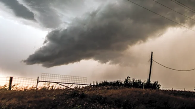
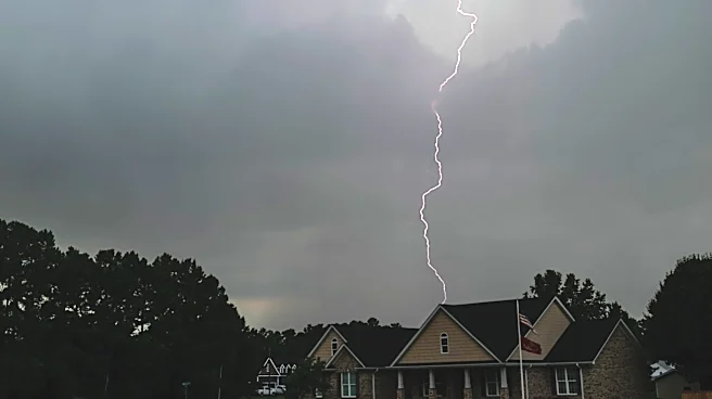
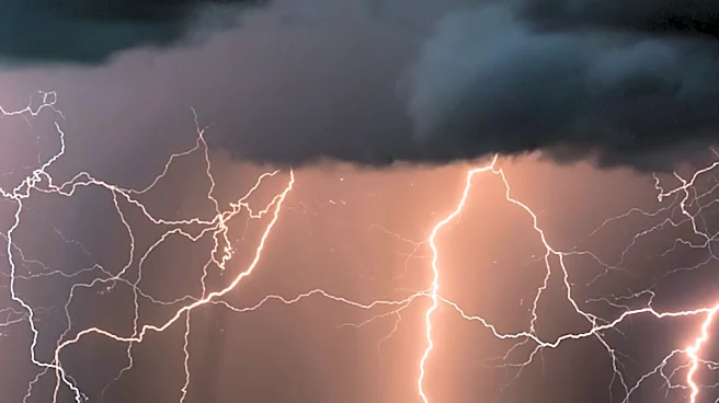
The Missoula region is expecting strong wind gusts and isolated thunderstorms on Tuesday, with some forecasts indicating outflow winds could reach approximately 50 mph near the most intense storms. The Storm Prediction Center has expanded the Level 1
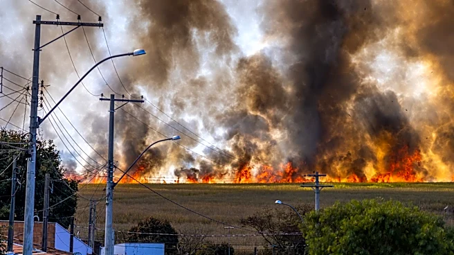
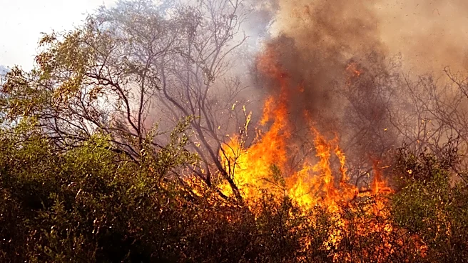
- Marginal Risk for severe storms to include Butte and Bozeman. Following this active weather, high pressure is anticipated to build on Wednesday, bringing a break from the storms. However, breezy west winds could push fire smoke back into the region. Temperatures are projected to climb significantly through the middle and latter part of the week, reaching around 10 degrees above seasonal averages by Thursday. Another change in the weather pattern is expected over the weekend, with forecast models suggesting a new disturbance that will bring cooler temperatures, increased winds, and another chance for showers and thunderstorms.
Why It's Important?
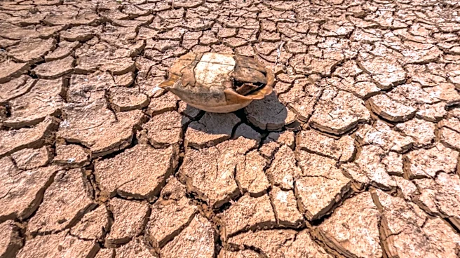
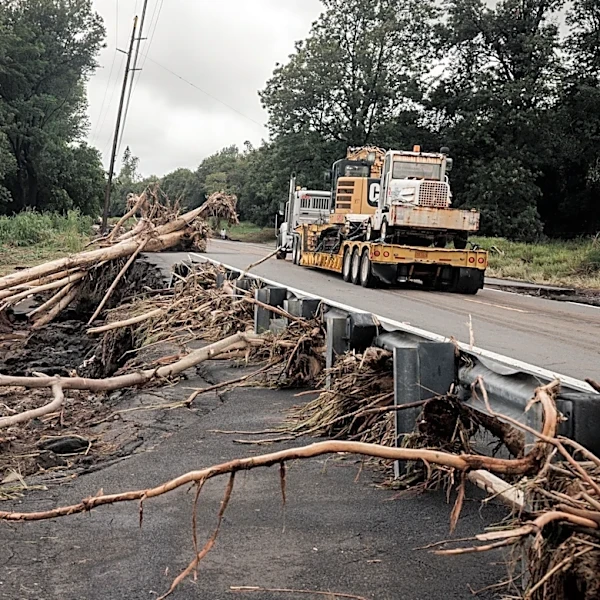
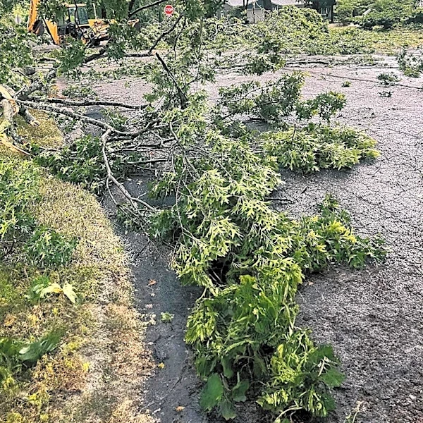
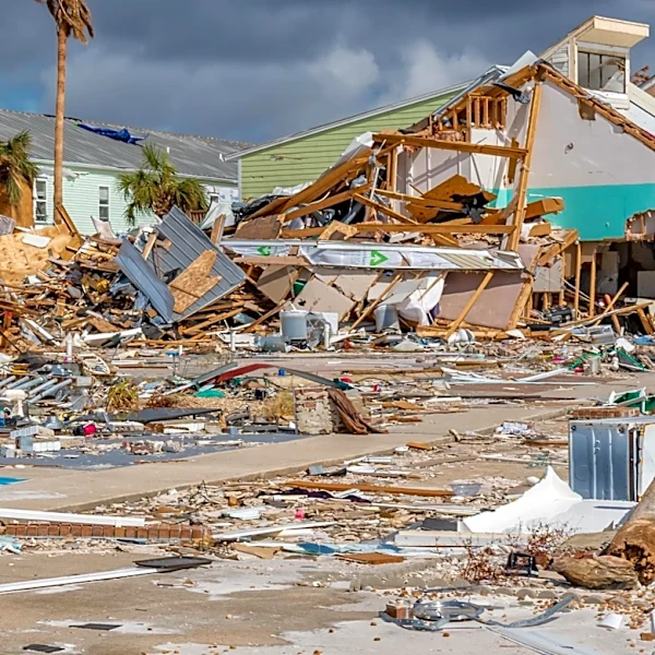
The combination of strong wind gusts and thunderstorms poses immediate risks to public safety and infrastructure, including potential power outages, downed trees, and hazardous driving conditions. The subsequent return of fire smoke, driven by breezy west winds, could significantly impact air quality, leading to health concerns for vulnerable populations and potentially disrupting outdoor activities. The projected rise in temperatures, reaching 10 degrees above seasonal averages, increases the risk of heat-related illnesses and could exacerbate drought conditions, contributing to a higher fire danger. This fluctuating weather pattern, from severe storms to high heat and then cooler, unsettled conditions, highlights the dynamic and sometimes unpredictable nature of regional weather, requiring residents and emergency services to remain vigilant and prepared for a range of environmental challenges. The potential for fire smoke also underscores the ongoing impact of wildfires on regional air quality and public health.
What's Next?
Residents in Missoula and surrounding areas should monitor local weather forecasts closely for updates on storm intensity and timing, as details regarding the weekend system remain uncertain. Emergency services will likely be on alert for potential storm-related incidents and fire risks. Individuals should take precautions against strong winds, such as securing outdoor objects, and be prepared for possible power interruptions. With temperatures rising, it will be important for the public to take measures to prevent heat-related illnesses, including staying hydrated and avoiding prolonged exposure to direct sunlight. The return of fire smoke will necessitate monitoring air quality alerts and taking appropriate actions, such as limiting outdoor exertion. The anticipated disturbance over the weekend suggests a continued need for preparedness for changing weather conditions, including potential renewed storm activity and cooler temperatures.
Beyond the Headlines
This weather pattern reflects broader climate trends that are increasing the frequency and intensity of extreme weather events across the U.S. The interplay between thunderstorms, wind, and the potential for fire smoke illustrates the interconnectedness of various environmental phenomena. The rising temperatures, even if temporary, contribute to the long-term warming trend that impacts water resources, agricultural cycles, and ecosystem health. The recurring threat of fire smoke, even when local fires are not active, highlights the regional and sometimes trans-regional impact of wildfires, underscoring the need for comprehensive fire management strategies and public health responses. This situation serves as a reminder of the increasing need for communities to adapt to a more volatile climate, investing in resilient infrastructure, robust emergency response systems, and public education on climate-related risks.