




What's Happening?
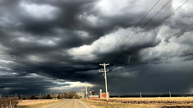
The Federal Aviation Administration (FAA) implemented ground stops for departing flights at both O'Hare and Midway airports in Chicago early Thursday morning. This action was taken as heavy rain and thunderstorms moved through the Chicago area. The ground stop at O'Hare concluded
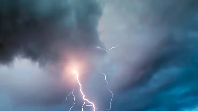
at 7:15 a.m., but average flight delays of nearly two hours were anticipated throughout the day. At Midway, the ground stop remained in effect until at least 8:45 a.m. The National Weather Service warned of potential 'torrential downpours,' with Midway Airport recording almost two inches of rain by 4:50 a.m. The persistent frontal boundary across the region is causing continuous showers and storms, leading to significant traffic disruptions and crashes during the morning commute, particularly north of I-80 where a flood advisory was issued for Kendall, northern Will, southern DuPage, south Cook, and northern Lake counties.
Why It's Important?
The ground stops at two of the nation's busiest airports, O'Hare and Midway, have a substantial impact on air travel across the U.S. and locally. Flight delays and cancellations ripple through the national air traffic control system, affecting connecting flights and travel schedules for thousands of passengers. Economically, these disruptions can lead to increased operational costs for airlines, including fuel consumption from holding patterns and compensation for delayed passengers. For businesses, delayed travel can impact meetings, supply chains, and overall productivity. Locally, the severe weather and associated traffic issues significantly impede the morning commute in the Chicago metropolitan area, affecting daily routines and potentially causing economic losses due to lost work hours and increased transportation times. The potential for localized flooding also poses risks to infrastructure and property, highlighting the vulnerability of urban areas to extreme weather events.
What's Next?
Showers and storms are expected to persist through late morning, with conditions drying out by approximately 11 a.m. However, the forecast indicates a continuation of unsettled weather. While Friday morning is predicted to be dry, another wave of rain is anticipated to begin around 5 p.m., extending into Saturday. Heavy downpours and storms are expected Saturday morning, with NBC 5 Storm Team Meteorologist Iisha Scott warning that Saturday morning plans 'are not looking good at all' due to the potential for flooding. Scattered rain will continue intermittently through Saturday, becoming 'area-wide' Saturday night and Sunday. The National Weather Service warns of 'additional episodes of showers and storms' and the possibility of localized flooding from repeated downpours. Temperatures are expected to fluctuate between the high and low 70s through Sunday, dropping into the 60s by Monday, with 65 degrees forecast for the first day of Fall.
Beyond the Headlines
The recurring severe weather events, such as the thunderstorms causing these ground stops and widespread disruptions, underscore broader climate trends and their impact on critical infrastructure. The increased frequency and intensity of such weather phenomena challenge the resilience of urban planning and transportation systems. For Chicago, a major transportation hub, these events highlight the need for enhanced weather forecasting capabilities, improved infrastructure to manage stormwater, and more robust contingency plans for air and ground travel. The economic and social costs associated with these disruptions, from lost productivity to increased stress on commuters and travelers, point to a growing imperative for long-term strategies to adapt to changing climate patterns. This includes investments in climate-resilient infrastructure and advanced warning systems to mitigate the impact on daily life and the economy.