


What's Happening?
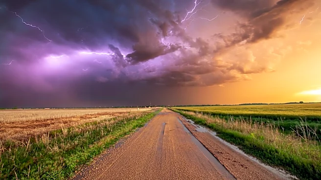
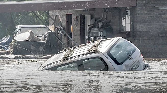
Milwaukee faced a severe weather threat that has now diminished, with strong storms weakening and the severe thunderstorm watch being cancelled. The city experienced record rainfall, breaking the previous record of 1.50 inches set in 2011, with a new
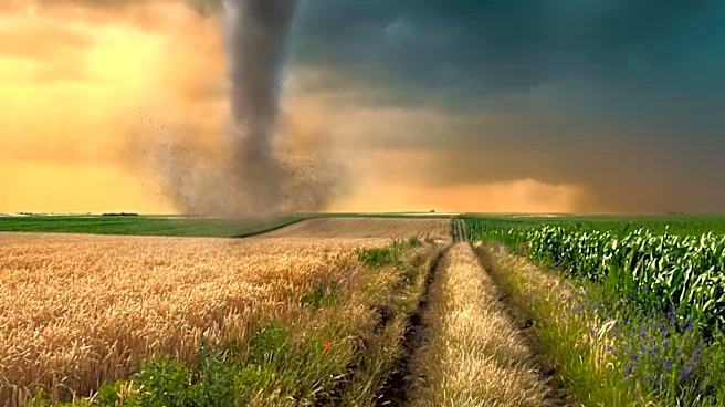
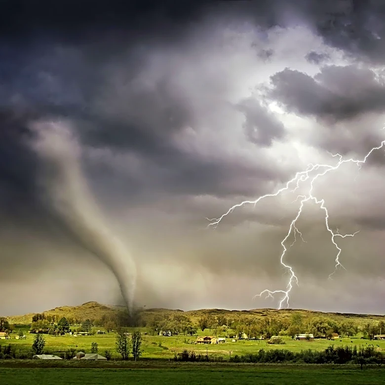
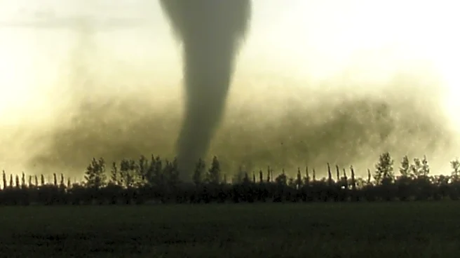
total of 1.75 inches. Earlier in the day, a tornado warning was issued for parts of southeast Wisconsin, and a tornado was confirmed in Neenah. Despite the reduced threat, isolated stronger storms may still develop in northern counties. The severe weather was initially fueled by high humidity and heat, which created conditions for strong storms. The National Weather Service had issued a Heat Advisory for southeast Wisconsin, with temperatures reaching the 90s and heat index values surpassing 100 degrees.
Why It's Important?
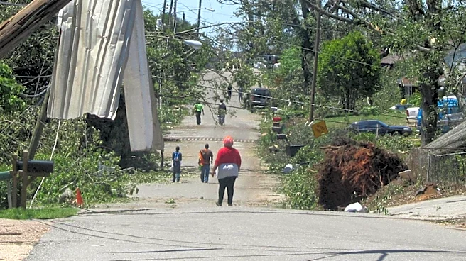
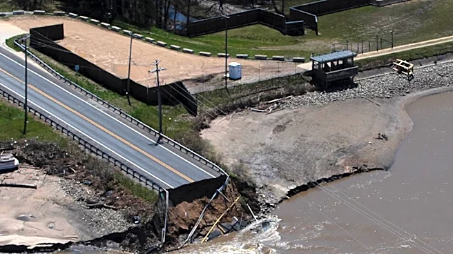
The severe weather in Milwaukee highlights the challenges posed by extreme weather conditions, which can disrupt daily life and pose risks to public safety. The record rainfall and potential for isolated storms underscore the need for effective weather forecasting and emergency preparedness. Such weather events can impact infrastructure, lead to power outages, and necessitate emergency responses. The situation also emphasizes the importance of public awareness and adherence to weather advisories to ensure safety. As climate patterns shift, the frequency and intensity of such weather events may increase, necessitating adaptive measures in urban planning and public policy.
What's Next?
While the immediate threat has decreased, residents are advised to remain vigilant for any isolated storms that may develop. Emergency services and weather agencies will continue to monitor the situation and provide updates as necessary. The focus will be on ensuring public safety and addressing any damage caused by the storms. In the longer term, there may be discussions on improving infrastructure resilience and emergency response strategies to better handle future severe weather events.