






What's Happening?
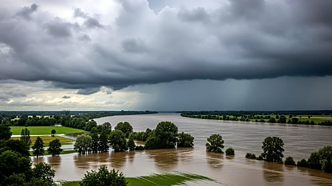
The National Weather Service (NWS) has issued flood watch alerts across at least 12 states in the U.S. due to a slow-moving weather pattern expected to bring heavy rainfall and potential flash flooding. The affected areas stretch from Texas to the Mid-Atlantic,
including southeastern Louisiana, southern Mississippi, Alabama, western Georgia, the Florida panhandle, northern Kentucky, southeastern Indiana, southern Ohio, northern West Virginia, southwestern Pennsylvania, and western Maryland. The weather system is characterized by 'training' storms, where repeated downpours occur over the same areas, increasing the risk of flooding in low-lying communities, rivers, and urban areas. In Texas, particularly in Central Texas and the Hill Country, forecasters have warned of life-threatening flooding potential, with rainfall totals expected to reach up to 5 inches in some areas. Similar conditions are anticipated in the Lower Mississippi Valley and the Gulf Coast, where localized rainfall totals could reach 6 to 8 inches.
Why It's Important?
The issuance of flood watches across such a broad region highlights the significant risk of flooding, which can lead to property damage, displacement of residents, and potential loss of life. The areas under alert are already saturated from previous rainfall, making them particularly vulnerable to rapid runoff and flash flooding. This situation poses a threat to infrastructure, including roads and bridges, and could disrupt daily life and economic activities. The potential for structural flooding and impassable roads in urban areas, especially near New Orleans and coastal communities, underscores the need for preparedness and timely response from local authorities and residents. The economic impact could be substantial, affecting businesses, agriculture, and transportation networks across the affected states.
What's Next?
Forecasters predict that the flood threat will continue to evolve over the next 24 to 48 hours as multiple rounds of showers and thunderstorms develop. Areas already under flood watches could see conditions worsen quickly, particularly where storms repeatedly move over the same locations. Residents in the affected areas are advised to monitor weather updates closely and prepare for possible evacuations. Local governments and emergency services are likely to remain on high alert, ready to respond to any emergencies that arise. The situation requires ongoing coordination between state and local agencies to ensure public safety and minimize damage.