





What's Happening?
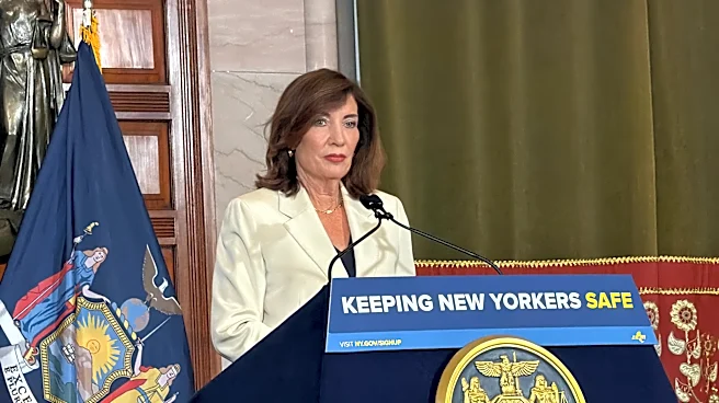
New York State has launched FloodSafe NY, a new statewide monitoring network aimed at improving the understanding and prediction of flooding and extreme weather responses. Announced by Governor Kathy Hochul, this initiative is a collaboration between
the New York State Department of Environmental Conservation (DEC) and the U.S. Geological Survey (USGS). FloodSafe NY is described as the nation's first statewide Hydrologic Monitoring Network. Its primary goal is to provide communities with near real-time data on streams and rivers, enabling earlier anticipation of flood risks and more informed infrastructure decisions. The program will modernize and expand the state's network of streamgages, upgrading existing ones with camera technology, backup data transmission, and two-way telemetry. New streamgages will be strategically placed in high-need areas for flood warnings, while lower-cost virtual streamgages will be utilized in areas with limited data. This technological advancement is expected to help identify flooding patterns, hydrologic trends, and improve flood warnings, ultimately contributing to more resilient infrastructure against extreme weather.
Why It's Important?
The launch of FloodSafe NY is a significant step in New York's efforts to combat the increasing frequency and intensity of flooding attributed to climate change. By providing local governments with real-time data, the initiative aims to save lives and reduce property damage from future flooding events. This enhanced predictive capability allows for smarter infrastructure planning and more effective emergency responses. Beyond flood mitigation, the network will also supply data crucial for monitoring drought conditions, protecting clean water supplies, and informing water-resource management, which are vital for public health and economic stability. The investment in this 'first-in-the-nation' network underscores a proactive approach to environmental challenges, setting a precedent for other states facing similar climate-related threats. The program's funding, sourced from the $4.2 billion Clean Water, Clean Air and Green Jobs Environmental Bond Act and USGS Cooperative Matching Funds, highlights a substantial commitment to environmental resilience and sustainable practices.
What's Next?
Following the launch, FloodSafe NY will proceed with the expansion and modernization of New York's streamgage network. This involves upgrading existing streamgages and strategically placing new physical and virtual streamgages across the state. The DEC will continue its contract with the USGS to implement these technological improvements, including camera technology, backup data transmission, and two-way telemetry. The data collected will be made accessible to local governments, enabling them to integrate this information into their flood preparedness and infrastructure planning. The initiative is expected to provide ongoing data to monitor drought conditions and inform water-resource management, contributing to long-term environmental sustainability. Further investments in nature-based and green infrastructure projects, such as those funded by the Resilient Watersheds Grant Program and the Community Resilience and Flood Risk Reduction Grants Program, will complement FloodSafe NY's efforts to reduce flood risk and enhance community resilience.
Beyond the Headlines
The FloodSafe NY initiative represents a broader shift towards data-driven environmental management and climate change adaptation. By leveraging advanced technology to monitor hydrological conditions, New York is not only addressing immediate flood risks but also building a foundation for more comprehensive water resource planning. This proactive approach acknowledges the long-term impacts of climate change and the necessity of resilient infrastructure. The collaboration between state and federal agencies, along with significant financial investment, highlights a growing recognition of climate change as a critical national security and economic issue. The ethical implications extend to ensuring equitable access to this vital data for all communities, particularly those most vulnerable to flooding. This model could influence other states to adopt similar comprehensive monitoring systems, fostering a nationwide improvement in climate resilience and environmental stewardship.