

What's Happening?
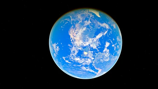
According to USDA Chief Meteorologist Brad Rippey, a strong El Niño pattern is taking hold across the Pacific, signaling a shift in the U.S. weather outlook through the summer of 2027. Rippey, speaking at the National Association of Farm Broadcasters
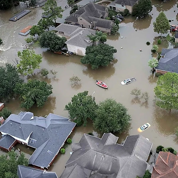
(NAFB) Convention, noted that the nation has experienced over 20 billion-dollar weather disasters recently, with two-thirds being localized severe weather events concentrated in the Midwest, shifting away from the traditional Great Plains 'Tornado Alley.' The El Niño is expected to reach peak strength within weeks, with equatorial Pacific waters significantly warmer than normal. This will likely lead to a suppressed northern jet stream and an active, extended subtropical jet stream, steering frequent storms across Southern California, the Central and Southern Plains, and the Southeast. Drought coverage is projected to decrease nationally, particularly in the southern half of the country, by early 2027. However, this moisture relief also brings elevated risks of flooding and severe thunderstorms, especially in the Southern Plains and Southeast, mirroring the active spring severe weather season of 1998.
Why It's Important?
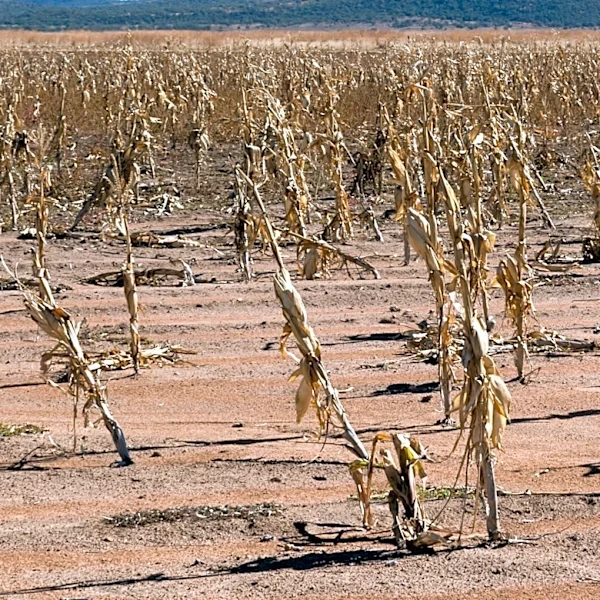
The anticipated weather shifts due to El Niño carry significant implications for various sectors across the U.S. Agricultural producers, particularly in the Southern Plains, stand to benefit from increased moisture, which could alleviate persistent drought conditions and improve winter wheat ratings. However, the warmer winter temperatures associated with El Niño could lead to increased pest and crop disease outbreaks in 2027, as a lack of deep freezes allows overwintering insects and pathogens to survive. The elevated risk of severe weather and flooding in the Southern Plains and Southeast poses a threat to infrastructure, public safety, and agricultural yields. Water managers and emergency planners will need to balance preparations for both drought recovery and potential river flooding. The shift in severe weather patterns, with events concentrating in the Midwest, highlights a changing climate dynamic that requires updated regional preparedness strategies.
What's Next?
As the strong El Niño is expected to reach its peak strength in the coming weeks, atmospheric disruptions will lag by one to two months, meaning the most significant weather impacts across the Southern United States are anticipated to amplify later in the winter and early spring of 2027. Communities in the Southern Plains and Southeast should prepare for an elevated risk of flooding and severe thunderstorms. Agricultural producers should monitor for increased pest and disease pressures due to warmer winter conditions. Drought coverage is expected to continue decreasing across the southern U.S. by the end of January 2027. Long-range forecasts for summer 2027, particularly regarding potential 'flash droughts' in the Midwest, remain uncertain, requiring continuous monitoring and adaptation from agricultural and water management sectors.
Beyond the Headlines
The ongoing El Niño event underscores the complex and far-reaching impacts of global climate patterns on regional weather. The shift in 'Tornado Alley' to the Midwest, as noted by Rippey, suggests a broader geographical redistribution of severe weather risks, potentially necessitating re-evaluation of disaster preparedness and infrastructure resilience in previously less-affected areas. The trade-off between drought relief and increased flood risk highlights the dual challenges posed by extreme weather events. Furthermore, the potential for increased pest and disease pressure due to warmer winters could have long-term ecological and economic consequences for agriculture, potentially leading to greater reliance on pesticides and altered farming practices. This situation emphasizes the need for integrated climate forecasting and adaptive strategies across multiple sectors to mitigate both immediate and long-term impacts.