
What's Happening?
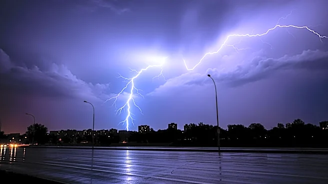
A powerful late-season storm system is currently impacting California and the intermountain west, bringing several feet of high-elevation snow to the Sierra Nevada and multiple inches of rain along the coast.
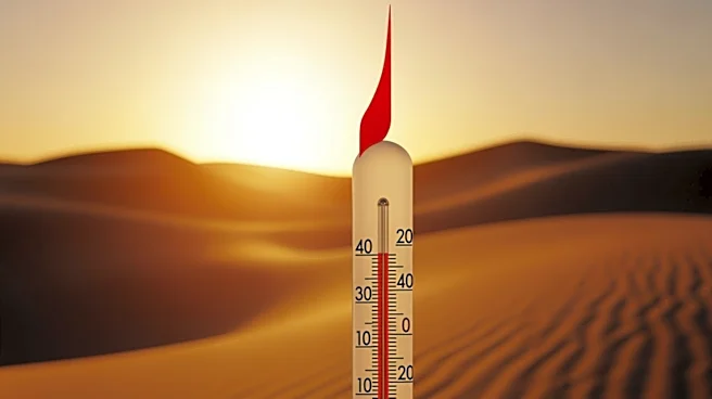
This storm arrives amid unusually warm temperatures, which have contributed to a rare snow drought in California and the Western United States. The storm is expected to deliver heavy showers and thunderstorms, particularly in Northern California and southwest Oregon. The National Oceanic and Atmospheric Administration forecasts a warmer-than-normal summer, which could exacerbate wildfire risks in the region.
Why It's Important?
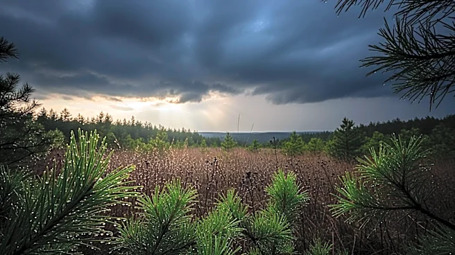
The storm's precipitation could help alleviate the current snow drought and potentially reduce the risk of wildfires in California. Persistent warmth and minimal snowpack have set the stage for a problematic summer of wildfire risk. The National Interagency Fire Center has warned of a long peak fire season in the Western U.S. this summer. The storm's impact on the snowpack and subsequent fire risk is crucial for the region's environmental and economic stability, as wildfires can cause significant damage to communities and infrastructure.
What's Next?
The storm is the main precipitation expected in the foreseeable future, with uncertain prospects for additional rain or snow. The National Oceanic and Atmospheric Administration predicts a warmer-than-normal summer, which could lead to a prolonged fire season. The fire risk is expected to expand in June and July, covering most of Northern California. The presence of atypically warm water near California may influence weather patterns, potentially affecting the severity of the fire season.