What is the story about?
What's Happening?
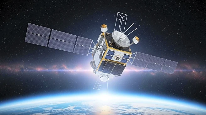
NASA, in collaboration with the National Oceanic and Atmospheric Administration (NOAA), the European Space Agency (ESA), and the European Organization for the Exploitation of Meteorological Satellites (EUMETSAT), is preparing to launch the Sentinel-6B satellite. This mission is a continuation of the long-term global sea level data record that began with the TOPEX/Poseidon mission in 1992. The Sentinel-6B, set to launch next month, will succeed the Sentinel-6 Michael Freilich satellite, which was launched in late 2020. The new satellite will work alongside its predecessor for a period to ensure data accuracy before taking over the mission entirely. The Sentinel-6B will provide critical data on ocean topography, helping to monitor sea level changes and their impact on climate systems.
Why It's Important?
The Sentinel-6B mission is crucial for maintaining the continuity of ocean topography data, which is vital for understanding climate change and its effects on global sea levels. Accurate sea level data is essential for predicting weather patterns, managing coastal resources, and preparing for natural disasters such as hurricanes and tsunamis. The data collected by Sentinel-6B will aid in the development of more accurate climate models and forecasts, benefiting industries such as shipping and fishing, as well as informing public policy on climate adaptation and mitigation strategies.
What's Next?
Following its launch, Sentinel-6B will undergo a checkout and calibration phase before it begins providing data in early 2026. The satellite will operate in tandem with Sentinel-6 Michael Freilich for a period to ensure data consistency and accuracy. This collaboration between international space agencies highlights the importance of global cooperation in addressing climate change and managing Earth's natural resources.


