

What's Happening?
The Aurora, IL area is bracing for severe weather, including scattered thunderstorms, potential damaging winds, and large hail. According to NBC 5 Storm Team Meteorologist Pete Sack, storms are expected to develop near the Illinois-Wisconsin state line
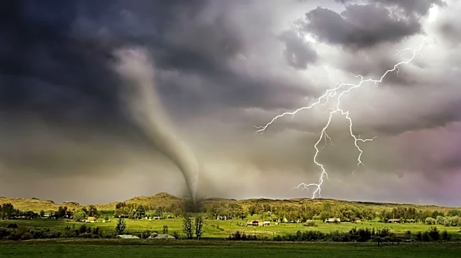
around 3 p.m. and intensify, pushing into the Chicago area by 6 p.m. and becoming more widespread by 8 p.m. The National Weather Service has issued a Level 2 severe weather risk warning for the entire Chicago area from approximately 8 p.m. through midnight. Residents in Aurora, Morris, and Romeoville are advised to seek indoor shelter if they hear thunder. The primary threats include heavy downpours, localized flooding, half-dollar sized hail, and wind gusts up to 60 mph. An isolated tornado cannot be ruled out, with the main tornado threat area identified west of the Fox River Valley. Temperatures for Friday will be in the 80s, dropping into the 70s over the weekend.
Why It's Important?
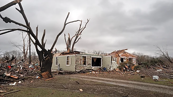
This severe weather event carries significant implications for public safety and local infrastructure in the Aurora, IL region and surrounding areas. The potential for damaging winds and large hail poses a direct threat to property, including homes, vehicles, and agricultural assets, which could lead to substantial financial losses for residents and businesses. Localized flooding from heavy downpours can disrupt transportation, cause power outages, and potentially damage critical infrastructure. The warning of a possible isolated tornado, though less certain, elevates the risk to human life and necessitates immediate preparedness from emergency services and the public. For local businesses, disruptions could range from temporary closures to supply chain interruptions, impacting economic activity. The event also tests the readiness and response capabilities of local emergency management agencies, highlighting the importance of effective communication and public awareness campaigns to mitigate risks and ensure community safety.
What's Next?
Residents in the affected areas, including Aurora, Morris, and Romeoville, are advised to remain vigilant and follow guidance from the National Weather Service. The storms are expected to move into the far south suburbs and northwest Indiana by midnight. Emergency services will likely be on standby to respond to any incidents of flooding, power outages, or storm damage. Post-storm, assessments of damage to infrastructure and property will be conducted, and recovery efforts will commence. Local authorities may issue further advisories regarding road closures or safety precautions. The forecast indicates a possibility of isolated thunderstorms on Saturday evening, suggesting that weather instability may persist, requiring continued monitoring by residents and officials.
Beyond the Headlines
The recurring nature of severe weather events, as noted by Meteorologist Pete Sack, underscores a broader trend of increasing weather volatility that communities like Aurora, IL, must adapt to. This situation highlights the ongoing challenge for urban planning and infrastructure development to withstand more frequent and intense weather phenomena. Beyond immediate damage, such events can contribute to long-term insurance premium increases, impact local economies through repeated disruptions, and place a strain on community resources. The emphasis on public awareness and preparedness, such as the advice to seek shelter indoors upon hearing thunder, reflects a growing need for robust public education campaigns on climate resilience. This event serves as a reminder of the critical role of meteorological forecasting and early warning systems in protecting lives and livelihoods in an era of changing weather patterns.