





What's Happening?
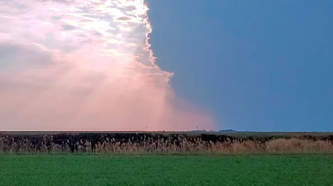
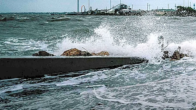
Long Island is currently under a flood watch due to the potential for moderate-to-heavy rain and thunderstorms. The flood watch is in effect through 8 p.m. Wednesday, with the possibility of additional rounds of showers and thunderstorms. These weather
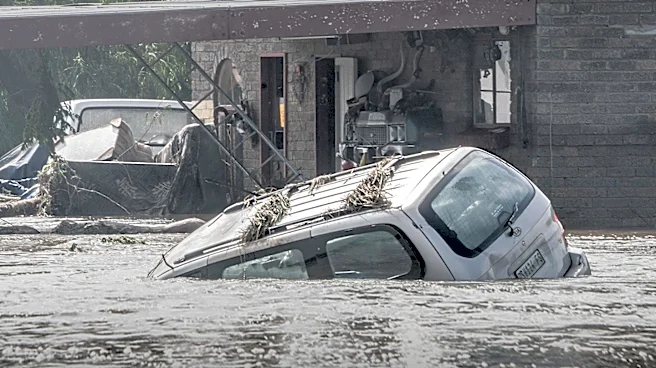
conditions could lead to flash flooding, especially in vulnerable areas. The National Weather Service has warned that rainfall rates could reach 1 to 2 inches per hour, with isolated higher amounts. While the most intense rain is expected to subside after sunset, the threat of heavy downpours remains overnight. The situation is expected to improve by Thursday, with a mix of clouds and sunshine and a reduced flood threat. By Friday, high pressure is anticipated to bring better weather, setting the stage for a pleasant summer weekend.
Why It's Important?
The severe weather conditions pose a significant risk to residents and infrastructure on Long Island. Flash flooding can lead to road closures, property damage, and disruptions to daily life. The flood watch highlights the need for preparedness among residents, particularly those in low-lying areas prone to flooding. The situation underscores the importance of effective stormwater management systems and the challenges posed by extreme weather events. As climate change continues to influence weather patterns, such events may become more frequent, necessitating increased resilience and adaptation measures.
What's Next?
Residents are advised to remain vigilant and prepared for potential flooding. Local authorities may issue further advisories or warnings as the situation develops. The improvement in weather conditions expected by the end of the week will provide a respite, but the community must remain aware of the ongoing risks associated with severe weather. Long-term, there may be discussions on enhancing infrastructure to better handle such weather events.