


What's Happening?
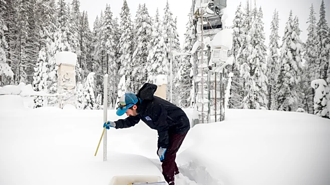
The National Weather Service (NWS) has issued a winter storm watch for regions across California and Nevada, forecasting up to eight feet of snow in some areas. The Sierra Nevada and Lake Tahoe regions are expected to experience the most severe impacts,
with heavy snowfall and hurricane-force winds. The NWS has advised motorists to exercise extreme caution, as travel conditions could become impossible. The storm watch is in effect from Sunday evening through Wednesday evening, with significant snowfall and strong winds anticipated to cause whiteout conditions and potential road closures. The NWS has recommended that individuals delay travel if possible and prepare for emergencies by carrying winter storm kits.
Why It's Important?
This winter storm watch is significant due to its potential to severely disrupt travel and daily life in the affected regions. The heavy snowfall and strong winds could lead to road closures, power outages, and increased risk of accidents. The economic impact could be substantial, affecting tourism and local businesses reliant on travel and outdoor activities. Additionally, the storm poses safety risks to residents and travelers, emphasizing the need for preparedness and caution. The NWS's warnings highlight the importance of heeding weather advisories to minimize risks and ensure public safety.
What's Next?
As the storm approaches, local authorities and emergency services are likely to prepare for potential disruptions and respond to any emergencies that arise. Residents and travelers in the affected areas should monitor weather updates and follow guidance from the NWS and local officials. The storm's progression will be closely watched, with potential adjustments to forecasts and advisories as conditions develop. Community preparedness and cooperation will be crucial in mitigating the storm's impact.