


What's Happening?
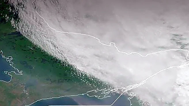
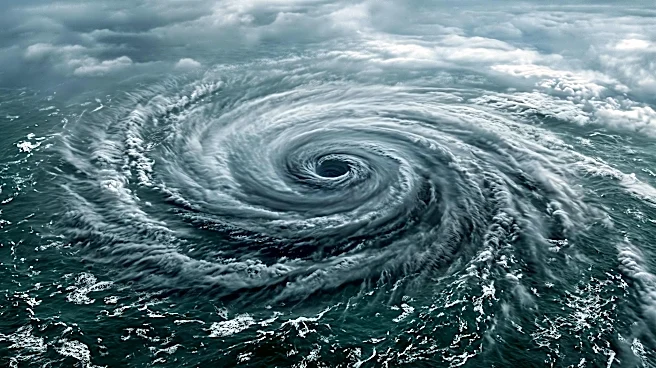
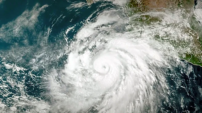
Tropical Storm Pena, which formed far southeast of Hawaii Island, is projected to intensify into a weak hurricane by next week, according to the Honolulu Star-Advertiser. As of Saturday at 5 p.m., Pena was located 530 miles south of South Point, moving
west at 9 mph with maximum sustained winds of 60 mph. The Central Pacific Hurricane Center forecasts a gradual strengthening of Pena over the coming days due to favorable sea surface temperatures and low vertical wind shear. By Wednesday, Pena is expected to reach minimal hurricane strength with 75 mph winds. National Weather Service forecasters indicate that a high-pressure ridge north of Hawaii will keep the storm on a westerly track, ensuring it passes well south of the Hawaiian islands. The islands are anticipated to experience breezy tradewinds through the weekend and into early next week.
Why It's Important?
The trajectory of Tropical Storm Pena is significant for Hawaii as it currently poses a low threat of direct impact, allowing residents and businesses to avoid immediate preparations for a hurricane landfall. The consistent forecast of the storm remaining south of the islands helps maintain normal operations for tourism, shipping, and local commerce, which are vital to Hawaii's economy. However, the broader context of a record-setting El Niño climate pattern and higher sea-surface temperatures, as noted by forecasters, suggests that the hurricane season could extend beyond its typical November 30 end date. This extended period of potential tropical cyclone activity could necessitate ongoing vigilance and preparedness measures for future storms, impacting long-term planning for disaster management and infrastructure resilience in the region.
What's Next?
Tropical Storm Pena is expected to continue its westward movement, strengthening into a minimal hurricane by Wednesday, while remaining far southwest of the Hawaiian islands. Forecasters anticipate that by Thursday and Friday, an "unsettled cloud band associated with a dissipated cold front" will approach from the north, leading to increased shower activity across Hawaii. While Pena itself is not expected to directly impact the islands, the ongoing El Niño climate pattern and warmer sea-surface temperatures suggest a prolonged hurricane season. This could mean that residents and authorities will need to remain prepared for potential future tropical cyclone developments beyond the traditional end of November, influencing long-term weather monitoring and emergency response strategies.
Beyond the Headlines
The continued formation of tropical storms like Pena, even if they do not directly impact land, highlights the broader implications of climate change and the record-setting El Niño phenomenon on weather patterns in the Central Pacific. The forecasters' warning about a potentially extended hurricane season beyond November underscores a shift in climatic norms, which could lead to increased frequency or intensity of storms in the future. This trend has long-term implications for Hawaii's infrastructure, natural ecosystems, and the well-being of its residents. It also prompts deeper discussions about climate adaptation strategies, coastal resilience, and the economic sustainability of island communities that are particularly vulnerable to extreme weather events. The need for continuous monitoring and updated predictive models becomes paramount in such evolving environmental conditions.