


What's Happening?
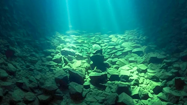
Blue diode lasers are emerging as a potential solution for mapping the deep ocean floor and other underwater applications, where traditional lasers are ineffective. While a typical laser cannot penetrate deep into the bathypelagic zone (starting around
3,280 feet below the surface), blue laser light, with its specific wavelength of approximately 445 nanometers, can transmit through water with minimal energy loss. This contrasts sharply with infrared (IR) lasers, which are absorbed within inches of entering water. Laserline has developed a blue diode laser with an output power of up to 6 kW, specifically engineered for underwater use. Although this technology is not yet intended for LiDAR from surface vessels, it could theoretically be deployed on Remotely Operated Vehicles (ROVs) to map the ocean floor. The primary current applications for these blue diode lasers include algae removal and underwater processing, areas where IR lasers are impractical. While a blue diode laser cannot penetrate the entire ocean from the surface, when installed on an ROV, it can penetrate several feet, significantly extending the range compared to IR lasers.
Why It's Important?
The development of blue diode lasers for underwater applications holds significant importance for ocean exploration and various marine industries. Currently, only about 28.7% of the ocean floor has been mapped, primarily using sonar. The ability of blue lasers to penetrate deeper into the water column than conventional lasers could revolutionize the mapping of unexplored ocean depths, providing crucial data for scientific research, resource management, and understanding marine ecosystems. For industries, this technology could enhance the efficiency of underwater operations such as infrastructure inspection, maintenance, and even potential deep-sea mining, by offering more precise and effective tools. The improved penetration and control of blue diode lasers over IR lasers could lead to safer and more effective methods for tasks like algae removal from submerged structures or precise cutting and welding in underwater construction. This advancement could open new avenues for technological development in marine robotics and autonomous underwater vehicles.
What's Next?
The theoretical application of blue diode lasers for LiDAR on ROVs suggests a future where more detailed and extensive mapping of the ocean floor becomes feasible. Further research and development will likely focus on increasing the penetration depth and power of these lasers, as well as integrating them with advanced imaging and navigation systems for ROVs. The current primary applications in algae removal and underwater processing are expected to expand as the technology matures and its capabilities are fully realized. This could lead to the development of new specialized underwater tools and equipment. The ongoing exploration of the ocean's vast, unmapped regions stands to benefit immensely, potentially revealing new geological features, marine life, and resources. Continued innovation in this field could also contribute to better understanding and mitigating the impacts of climate change on marine environments.
Beyond the Headlines
The advancement in blue diode laser technology for underwater use has deeper implications for our relationship with the ocean. Ethically, improved mapping capabilities could lead to more informed decisions regarding marine conservation and the protection of vulnerable deep-sea ecosystems. Legally, clearer maps of the ocean floor could help resolve territorial disputes and define resource boundaries in international waters. Culturally, the ability to explore and visualize the deep ocean in unprecedented detail could inspire a new generation of oceanographers and engineers, fostering a greater appreciation for marine science. This technology also highlights the ongoing human endeavor to overcome environmental barriers through scientific innovation, pushing the boundaries of what is observable and understandable in the natural world. The potential for detailed 3D mapping could transform our understanding of geological processes, biodiversity, and the history of our planet's largest habitat.