


What's Happening?
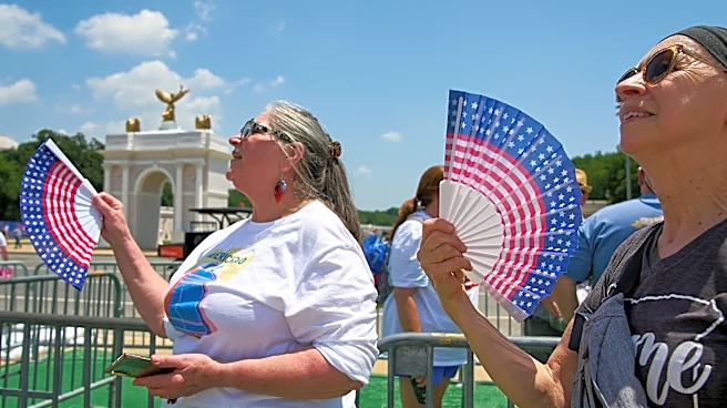
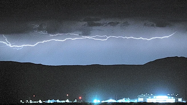
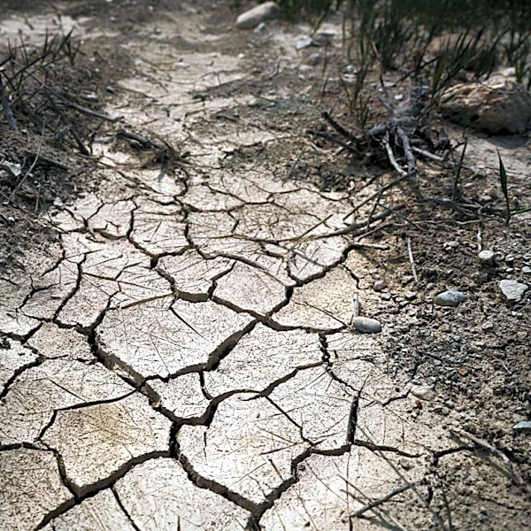
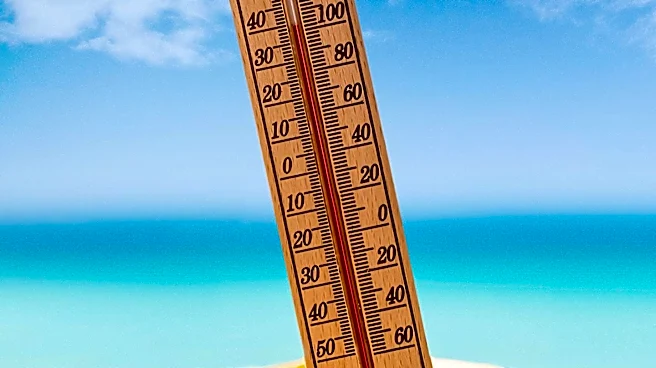
Maryland is experiencing extreme heat conditions, with temperatures reaching 100 degrees in Baltimore for the first time this year. The National Weather Service has issued a Severe Thunderstorm Watch for several counties, including Baltimore City, due
to the potential for severe thunderstorms. These conditions have prompted the declaration of First Alert Weather Days for Friday and Saturday. The heat index is expected to reach between 110° to 113°, and an Air Quality Alert (Code Orange) is in effect due to high levels of heat and humidity. The extreme weather is expected to continue through the July 4th holiday, with the possibility of severe thunderstorms causing travel disruptions and localized wind damage.
Why It's Important?
The extreme heat and potential for severe thunderstorms pose significant risks to public safety and health. High temperatures and humidity can lead to heat-related illnesses, particularly affecting vulnerable populations such as the elderly and those with pre-existing health conditions. The severe weather could also disrupt holiday plans and pose risks to outdoor activities. Additionally, the Air Quality Alert indicates unhealthy air conditions, which can exacerbate respiratory and cardiac issues. The situation underscores the importance of preparedness and the need for public awareness to mitigate the impact of these weather conditions.
What's Next?
The extreme heat is expected to ease after the July 4th holiday, with temperatures dropping out of the triple digits. However, the risk of severe thunderstorms will persist through the weekend, potentially impacting Independence Day celebrations. Residents are advised to stay informed through weather updates and take precautions to protect themselves from the heat and potential storms. Cooling centers will be available in Baltimore City to provide relief from the heat. The First Alert Weather Team will continue to monitor the situation and provide updates as necessary.