






What's Happening?
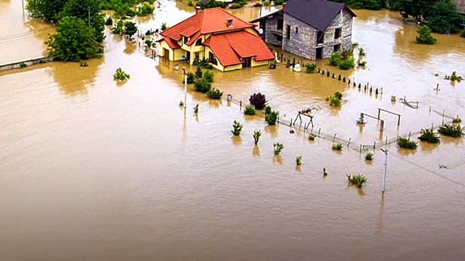
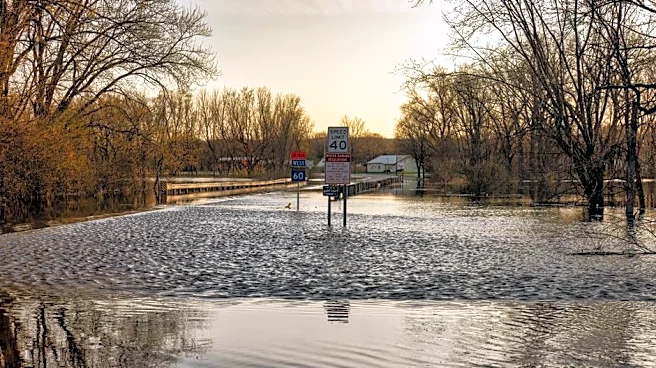
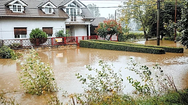
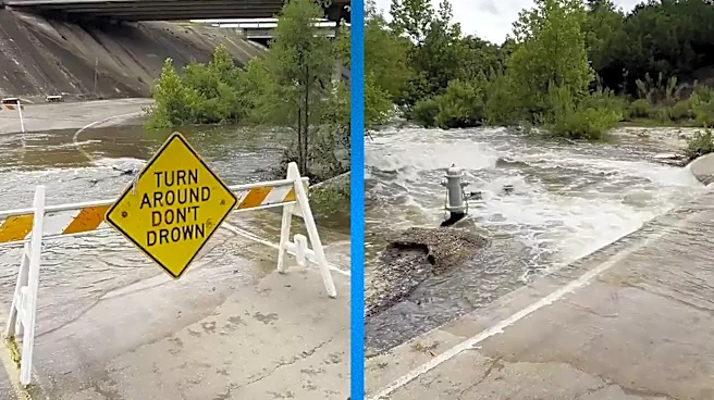
A significant flood threat is looming over Texas, particularly affecting San Antonio and the surrounding regions. The National Weather Service has issued a Level 3 flash flood risk for parts of the Big Bend area, west and north of San Antonio. This week,
storms are expected to bring between 5 and 8 inches of rain across West and Southwest Texas, including the Hill Country. The flood threat is anticipated to shift towards the Texas Plains, impacting cities like Austin and San Antonio, with widespread rain totals of 1-3 inches expected through Tuesday. The situation is exacerbated by a massive heat dome over the northern U.S., which is causing a weak storm system to move into the southern Plains.
Why It's Important?
The impending floods pose a significant risk to millions of residents in Texas, particularly in areas that have previously experienced devastating flooding. The heavy rains could lead to dangerous flash floods, impacting infrastructure, homes, and businesses. The situation demands urgent attention from local authorities and residents to prepare for potential evacuations and property damage. The economic impact could be substantial, affecting local businesses and agriculture. Additionally, the floods could strain emergency services and resources, necessitating coordinated efforts for disaster response and recovery.
What's Next?
As the week progresses, residents in the affected areas are advised to stay informed through local weather updates and heed any evacuation orders. The Texas National Guard and other state resources have been activated to assist in emergency response efforts. Authorities are likely to issue flood watches and warnings as the situation develops. Residents should prepare for potential power outages and ensure they have emergency supplies on hand. The situation will require ongoing monitoring and adaptation to changing weather conditions.