
What's Happening?
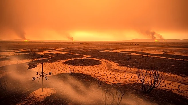
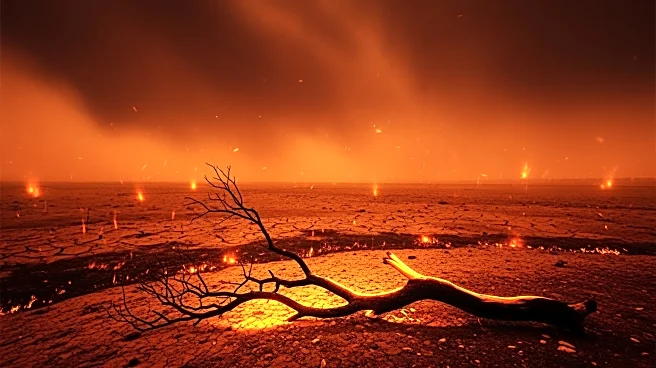
The National Weather Service (NWS) has issued red flag warnings across large portions of Oklahoma and into Texas, indicating 'elevated to critical fire weather conditions.' This warning comes as a result of a combination of factors including a trailing
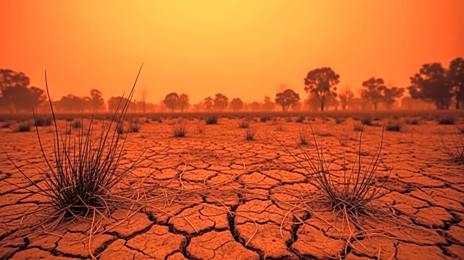
cold front, gusty winds, very low relative humidity, anomalously warm temperatures, and dry fuels. These conditions are expected to persist from the central Rockies to the central and southern Plains through the weekend. The Weather Prediction Center (WPC) has highlighted a broad fire-weather corridor from the Southwest into the southern Plains, emphasizing the need for safety precautions. Residents are advised to avoid common ignition sources such as cigarettes and welding equipment during this period.
Why It's Important?
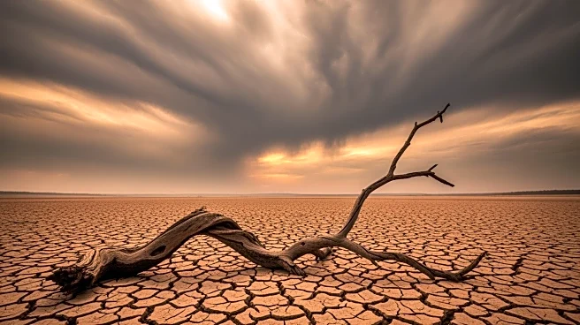
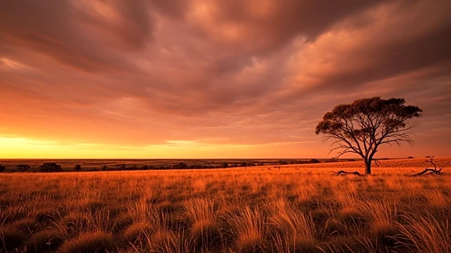
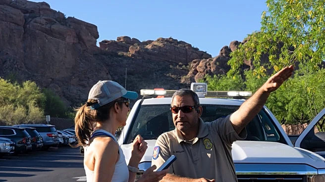
The issuance of red flag warnings is significant as it highlights the increased risk of wildfires, which can threaten life, property, and infrastructure, particularly in rural grasslands and communities at the wildland-urban interface. The warnings are a call to action for residents and local authorities to implement fire prevention measures to mitigate potential damage. The persistence of these conditions could lead to rapid fire spread, posing challenges for firefighting efforts and emergency response teams. The economic impact could be substantial, affecting agriculture, local businesses, and potentially leading to costly evacuations and property damage.
What's Next?
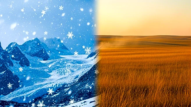
As colder air is expected to filter into the northwestern and central U.S. behind the front through Monday, record heat is anticipated to persist in parts of the Southwest, sustaining localized fire-weather concerns. Additional weather fronts could bring wind shifts and changes over the north-central U.S. and Great Lakes by midweek, with local fire-weather conditions dependent on humidity, fuel status, and wind forecasts. Continuous monitoring and updates from the NWS will be crucial for residents and local authorities to stay informed and prepared.