







What's Happening?
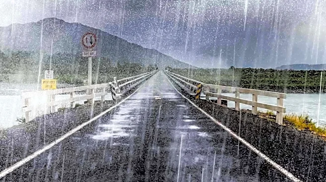
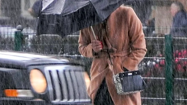
A strong frontal system is bringing gusty winds and widespread rainfall to Seattle on Friday. A Wind Advisory is in effect for coastal areas and the north interior, where wind gusts could reach up to 50 mph. The Puget Sound region is expected to experience
breezy conditions with gusts up to 30 mph through the evening. The heaviest rainfall, estimated at 0.5 to 0.75 inches, is anticipated along the coast and in the mountains, while the lowlands could see up to a quarter of an inch. Showers are expected to move through midday into the afternoon, with rainfall decreasing by the evening. High temperatures for Friday are forecast to be in the mid to upper 50s, which is a few degrees above average.
Why It's Important?
The incoming weather system poses several immediate impacts for residents and infrastructure in the Seattle area. Gusty winds can lead to power outages, disrupt transportation, and create hazardous driving conditions, particularly for high-profile vehicles. Widespread rain increases the risk of localized flooding, especially in urban areas with poor drainage, and can affect outdoor activities and events. For commuters, the combination of wind and rain can cause delays and make travel more challenging. Businesses reliant on outdoor operations or sensitive to weather conditions may experience disruptions. The advisory serves as a critical warning for residents to take precautions, secure outdoor items, and prepare for potential inconveniences, ensuring public safety and minimizing property damage.
What's Next?
Following Friday's system, another storm is expected to arrive in Seattle from Saturday into Sunday. Saturday will begin mostly cloudy and dry, with rain increasing along the coast in the afternoon. The frontal system will bring more widespread gusty winds and rain from the second half of Saturday through Sunday morning. There is a potential for stronger winds across the area during this period, and residents are advised to stay updated on any potential upgrades to wind advisories. Showers are projected to taper off into Sunday afternoon, leading to sunbreaks and improved conditions, particularly for the Seahawks game scheduled for midday. However, several more rounds of weather systems are anticipated, with showers returning later Monday into next week.
Beyond the Headlines
The recurring pattern of strong fall weather systems in the Pacific Northwest highlights the region's susceptibility to seasonal atmospheric changes. These events, while common, underscore the importance of robust infrastructure and effective emergency preparedness strategies for local governments and communities. The impact on daily life, from transportation to outdoor recreation, reflects how deeply weather influences regional dynamics. Furthermore, the mention of the Seahawks game in relation to weather forecasts illustrates the cultural integration of sports into the community's rhythm, where even major events are planned around meteorological predictions. This continuous cycle of weather systems also provides valuable data for climate scientists studying regional weather patterns and their potential long-term shifts.