
What's Happening?
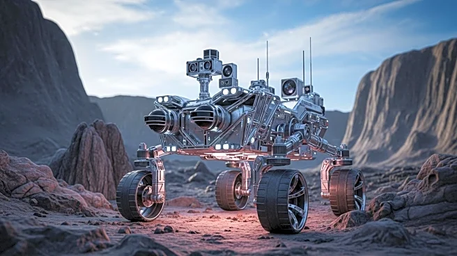
Researchers in Hong Kong have developed a novel 3D mapping model for quadrupedal robots, enabling them to autonomously navigate complex terrains. The robot uses multi-layered mapping to understand its environment, allowing it to crawl under and leap over obstacles. This advancement is detailed in a study published in IEEE Robotics and Automation Letters, showcasing the robot's ability to adapt to diverse terrains and complete missions that may be dangerous for humans.
Why It's Important?
The development of advanced terrain mapping for robots is crucial for applications in disaster response, construction, and exploration. Robots capable of navigating complex environments can perform tasks that are hazardous for humans, such as assessing unstable rubble sites after earthquakes. This technology enhances the safety and efficiency of operations in challenging conditions, potentially saving lives and reducing costs. The ability to autonomously switch between different navigation modes further increases the robot's versatility and utility.
Beyond the Headlines
While the robot demonstrates impressive navigation capabilities, it relies on pre-trained data and cannot learn directly from real-world experiences. Future enhancements may include real-world data integration to improve adaptability. The commercialization of this technology could lead to widespread use in inspection scenarios, offering significant benefits to industries requiring detailed terrain analysis.