
What's Happening?
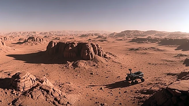
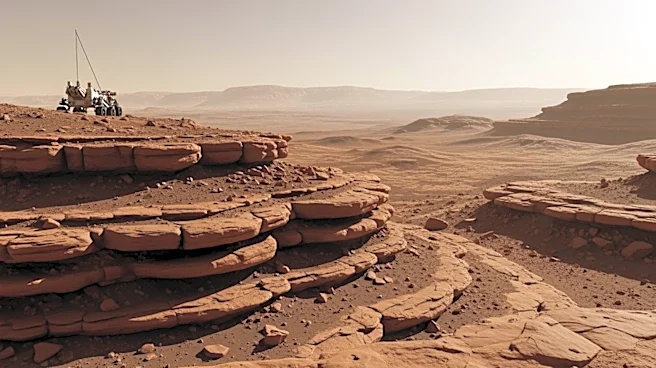
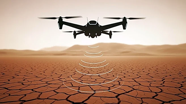
Researchers from the University of Arizona have proposed using drone-mounted radar technology to identify potential drilling sites for water on Mars. This innovative approach involves equipping drones
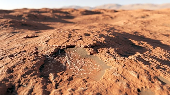
with ground-penetrating radar to map subsurface ice deposits, similar to techniques used on Earth. The study highlights the potential of this technology to provide detailed information about the thickness of debris covering ice, which is crucial for selecting drilling locations. The research draws parallels with glaciers in Alaska and Wyoming, suggesting that these methods could be effectively adapted for Martian exploration.
Why It's Important?
The development of drone-mounted radar technology for Mars exploration represents a significant advancement in space exploration techniques. By enabling precise identification of water sources, this technology could facilitate future manned missions to Mars, where water is a critical resource for sustaining human life and supporting scientific research. The ability to accurately locate and assess water deposits could also reduce mission costs and increase the efficiency of resource utilization on the Red Planet. This innovation underscores the growing role of drone technology in expanding the capabilities of space exploration.