


What's Happening?
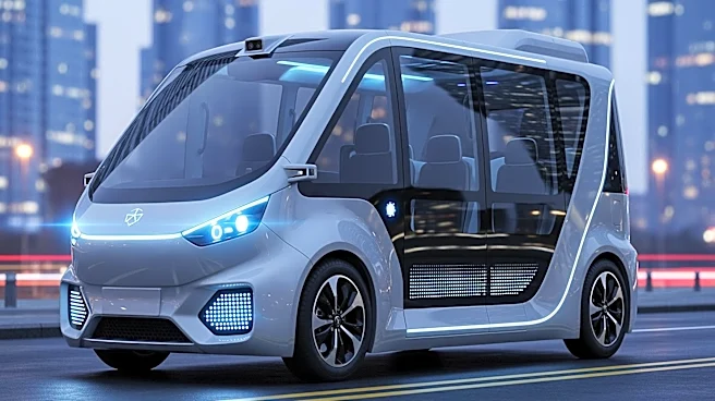
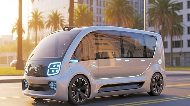
Waymo, a robotaxi company, and Waze, a community-driven GPS navigation app, have launched a joint venture to tackle pothole problems in major U.S. cities. The initiative involves a data-sharing pilot program that collects information on road conditions
and communicates necessary repairs to city authorities. The program will initially operate in five cities: Austin, Atlanta, Los Angeles, Phoenix, and the San Francisco Bay Area. Waymo's autonomous vehicles, equipped with advanced sensors, will gather data on potholes, which will be accessible to city and state Departments of Transportation through the Waze for Cities app. This collaboration aims to improve road safety and efficiency by providing a more accurate picture of road conditions.
Why It's Important?
The collaboration between Waymo and Waze represents a significant step towards leveraging technology to improve urban infrastructure. By providing real-time data on road conditions, the initiative can lead to more timely and effective pothole repairs, enhancing road safety and reducing vehicle damage. This approach could potentially save cities money by optimizing repair schedules and reducing the need for manual inspections. Additionally, it highlights the growing role of autonomous technology in urban planning and infrastructure management, setting a precedent for future smart city initiatives.
What's Next?
The pilot program is expected to expand to more cities as it progresses. The success of this initiative could encourage other cities to adopt similar technology-driven solutions for infrastructure management. Stakeholders, including city officials and transportation departments, may explore further collaborations with tech companies to address other urban challenges. The data collected could also inform long-term urban planning and policy decisions, potentially leading to more sustainable and efficient city environments.