




What's Happening?
The Philadelphia region is currently experiencing a significant storm system, bringing multiple rounds of wet weather and thunderstorms from midmorning through early afternoon. The National Weather Service has issued a First Alert for the area, effective
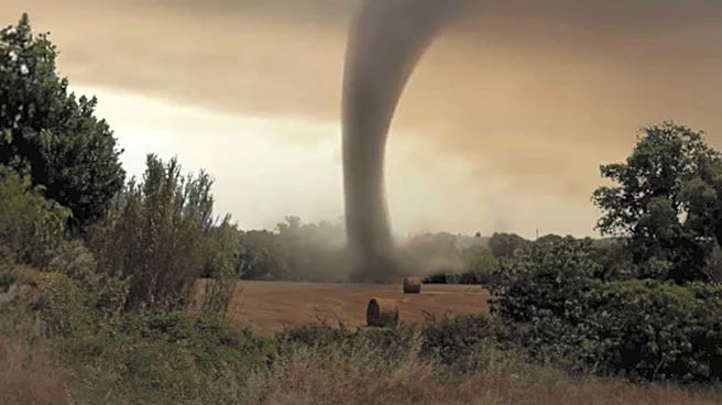
from 11 a.m. to 5 p.m. on Thursday, due to the threat of severe weather. Residents can expect heavy downpours, gusty winds, and reduced visibility, which are creating hazardous travel conditions. There is a marginal severe risk, and a 2% tornado risk has been identified, primarily due to a warm front moving through the area and accompanying wind shear. Isolated severe thunderstorms are possible, capable of producing damaging winds and hail, with an isolated tornado not being ruled out. The high temperature for Thursday in Philadelphia is 61 degrees Fahrenheit.
Why It's Important?
The severe weather poses immediate risks to public safety and infrastructure across the Philadelphia region. Damaging winds and potential tornadoes can lead to power outages, property damage, and disruptions to transportation. The heavy rainfall increases the risk of localized flooding, particularly in low-lying areas and urban environments with strained drainage systems. Reduced visibility and gusty winds make driving dangerous, potentially leading to accidents and traffic delays. For businesses, disruptions can range from temporary closures to supply chain interruptions. Residents are advised to stay informed and take necessary precautions, as the combination of these weather elements can significantly impact daily life and economic activity in the region.
What's Next?
Following the severe weather threat on Thursday, a significant shift to colder air is expected to move into the region by Thursday night. While the thunderstorm threat will diminish, showers are likely to continue through Thursday night and into Friday. Temperatures are projected to drop into the 40s, with winds gusting up to 35 mph, making 'feels-like' temperatures in the 30s throughout Friday. Showers are expected to clear out by Friday evening, leading to a dry but gusty and cold weekend. Temperatures will remain chilly on Saturday, feeling like the low 40s, before gradually rebounding into the 60s by the second half of the following week. Residents should prepare for a rapid transition from mild, stormy conditions to much colder weather.
Beyond the Headlines
The recurring nature of severe weather events, including tornado threats, in regions not traditionally known for frequent tornadoes, highlights broader climate pattern shifts. This event could prompt discussions on urban planning and infrastructure resilience in the face of changing weather. The impact on daily commutes and public services also underscores the need for robust emergency preparedness and communication systems. Furthermore, the economic implications for local businesses, particularly those reliant on outdoor activities or sensitive to weather-related disruptions, could be substantial. The event serves as a reminder for individuals and communities to regularly review and update their emergency plans and supplies.