

What's Happening?
A 'Super El Niño' event is currently underway, with NOAA confirming its presence in the Central Pacific. This phenomenon is characterized by ocean temperatures remaining 2 degrees Celsius above average for three consecutive months. Long-range forecasts
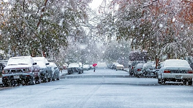
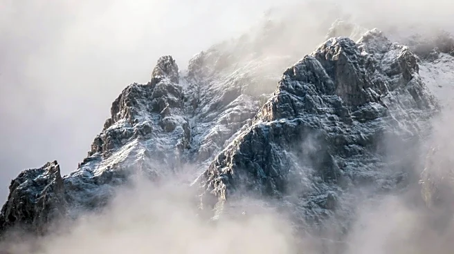
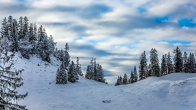
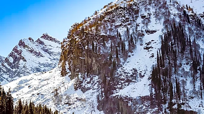
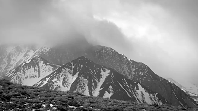
from NOAA and the European forecast model predict above-average snowfall across the Sierra Nevada, the Great Basin, the Wasatch Range, and the central Rockies through March. This comes after the previous winter saw record-low snowpack across most Western mountain ranges due to warm temperatures and a lack of storms. The increased storm frequency associated with Super El Niño is expected to help these regions rebound significantly. The Pacific jet stream is becoming more extended and active, directing storms across the southern tier of the U.S. While El Niño's warm Pacific air generally keeps temperatures above average, higher elevations are anticipated to remain cold enough to receive increased snow from more frequent storms. Signs of this pattern are already emerging, with major storms in October dropping over a foot of snow in Colorado's San Juan Mountains and causing flooding at lower elevations.
Why It's Important?
The potential for increased snowfall in the Mountain West is critically important for water resources and local economies. Snowpack in the Intermountain West is a primary source of water for the Colorado River and the broader Southwest year-round. A significant rebound in snow levels could help alleviate drought conditions and bolster water supplies for agriculture, urban areas, and ecosystems. Furthermore, ski resorts in these regions, which faced early closures last season due to lack of snow, stand to benefit from improved conditions, potentially boosting local tourism and related industries. The shift in weather patterns also highlights the significant influence of El Niño on regional climate, demonstrating its capacity to alter seasonal precipitation and temperature trends across the United States. The declaration of a 'Super El Niño' underscores the intensity of this particular event and its potential for widespread impacts.
What's Next?
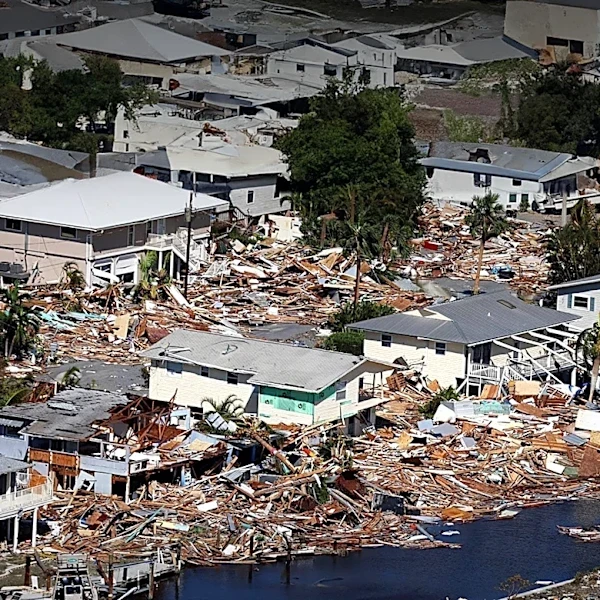
The Super El Niño is expected to continue influencing weather patterns through the winter and into early spring. Forecasters anticipate the peak impacts to occur in January and February, with extended snowfall potentially lasting into March and early April in the central Rockies and plains. Regions like the Cascades and the interior Northeast are projected to experience below-average snowfall, indicating a varied impact across the country. Stakeholders, including water management agencies, agricultural sectors, and the winter tourism industry, will closely monitor these developments. The increased storm activity will also bring a heightened risk of flooding in lower elevations, as observed in October. Communities in the affected areas will need to prepare for both increased snowfall and potential flood events as the Super El Niño progresses.
Beyond the Headlines
The current Super El Niño event occurs against a backdrop of ongoing climate change, which introduces complexities in predicting long-term weather patterns. While El Niño is a natural climate cycle, the overall warming trend of the planet can influence its characteristics and impacts. The increased ocean temperatures associated with El Niño, even if temporary, can drive atmospheric changes that may manifest over several years. This event serves as a reminder of the interconnectedness of global climate systems and the profound influence of oceanic phenomena on regional weather. Understanding these interactions is crucial for developing effective climate adaptation strategies and for managing natural resources in a changing environment. The term 'Super El Niño,' though not a technical classification, emphasizes the exceptional strength of this event, prompting closer scientific scrutiny and public awareness of its potential consequences.