






What's Happening?
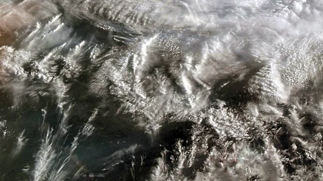
The Central Weather Administration (CWA) of Taiwan has issued a sea warning for Tropical Storm Noul as it approaches the island from the southeast. As of Friday morning, Noul was located approximately 530 kilometers southeast of Cape Eluanbi, moving west-northwest
with maximum sustained winds of 65 kph. The storm is expected to maintain its strength while passing through the Bashi Channel and could intensify into a typhoon over the South China Sea before making landfall in China's Guangdong Province. Noul's outer rainbands are anticipated to bring heavy rain to eastern Taiwan and the Hengchun Peninsula, with the closest approach expected on Saturday.
Why It's Important?
The approach of Tropical Storm Noul poses a significant weather threat to Taiwan, with potential impacts including heavy rainfall, strong winds, and coastal flooding. The storm's trajectory and intensity could affect transportation, agriculture, and infrastructure in the region. Taiwan's preparedness and response to such weather events are crucial in minimizing damage and ensuring public safety. The storm also highlights the broader challenges of climate-related weather patterns in the Asia-Pacific region, where typhoons and tropical storms are common and can have widespread economic and social impacts.
What's Next?
As Noul approaches, Taiwan's government and emergency services are likely to implement precautionary measures, including evacuations and infrastructure protection. The CWA will continue to monitor the storm's path and provide updates to the public. Residents in affected areas are advised to stay informed and follow safety guidelines. The storm's impact on Taiwan will be closely watched, with potential implications for regional weather patterns and future storm preparedness strategies.