





What's Happening?
NASA Acres, a consortium based at the University of Maryland, is actively engaging with Texas farmers to combat drought conditions in the High Plains, particularly in cotton-growing regions. A recent NASA Earth Observatory Image of the Day highlighted
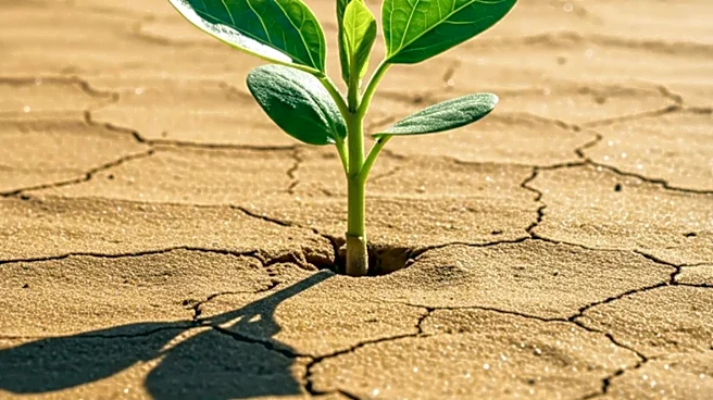
the stark difference in conditions between September 2025 and September 2026 around Lubbock, showing significantly drier landscapes and reduced vegetation. NASA Acres Farm Innovation Ambassador Team (FIAT) members, such as Lacy Cotter Vardeman, report severe impacts, including complete crop failure for cotton. Through initiatives like the NASA Space for Agriculture (Space4Ag) listening tour, NASA Earth Science leaders and scientists are collaborating directly with producers to understand the challenges posed by drought, groundwater depletion, and playa lakes, aiming to leverage satellite data for agricultural solutions.
Why It's Important?
The severe drought in Texas cotton country poses a significant threat to the agricultural economy of the region and the livelihoods of farmers. The complete failure of cotton crops, as reported by farmers, indicates substantial economic losses and potential disruptions to the supply chain for cotton products. The growing pressure on the High Plains aquifer due to increased water demand further exacerbates the long-term sustainability challenges for agriculture in the area. NASA Acres' initiative to connect satellite data with on-the-ground farmer experiences is crucial for developing effective, data-driven solutions. This collaboration can lead to more informed agricultural practices, better water management strategies, and enhanced resilience for farmers facing increasingly frequent and intense drought conditions.
What's Next?
NASA Acres will continue its efforts to integrate satellite data and scientific expertise with the practical knowledge of Texas farmers to develop adaptive strategies for drought. The ongoing dialogue between NASA scientists and agricultural partners, as established during the Space4Ag listening tour, is expected to foster innovative solutions for water conservation and crop management. Future steps may include the development of new tools or advisories based on satellite imagery and ground observations to help farmers make more informed decisions regarding irrigation, crop selection, and land use. The focus will likely remain on mitigating the impacts of groundwater depletion and improving the resilience of agricultural systems in the High Plains.
Beyond the Headlines
The collaboration between NASA Acres and Texas farmers represents a critical intersection of advanced space technology and local agricultural needs. It highlights the broader implications of climate change on food security and the necessity of interdisciplinary approaches to address complex environmental challenges. The use of Landsat imagery to visualize drought impacts provides a powerful tool for understanding environmental shifts and communicating their severity. This initiative also raises awareness about the ethical responsibility of scientific institutions to translate complex data into actionable insights for communities directly affected by climate change, fostering a model for how scientific research can directly support sustainable practices and economic stability in vulnerable regions.