



What's Happening?
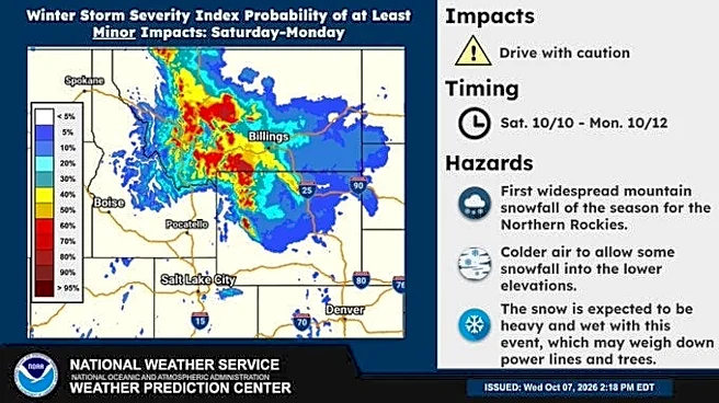
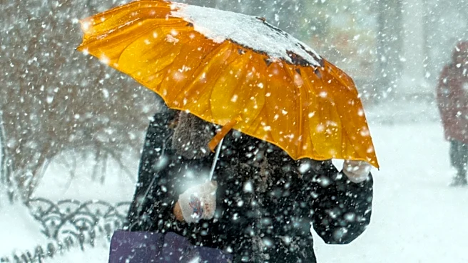
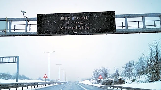
The Billings area is experiencing a significant weather change, with colder air bringing a mix of snow and rain. This follows a period of record-breaking 80-degree temperatures in much of Montana and Wyoming. A cold front began pushing over the northern
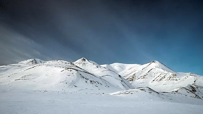
Rockies, ushering in rain, isolated thunderstorms, and snow. A second surge of cold air is expected to move across Montana and Wyoming, leading to more areas receiving snow rather than rain. Most of western and central Montana are under Winter Weather Advisories and Winter Storm Warnings from late Saturday through Monday, with some higher peaks potentially receiving up to two feet of snow. Billings itself will see a mix of rain and snow, though with lower snow accumulations.
Why It's Important?
This abrupt shift to winter weather conditions is important for several reasons. For residents across Montana, particularly in areas under Winter Storm Warnings, travel will become hazardous due to heavy snowfall and icy conditions, impacting daily commutes and potentially isolating some communities. The sudden temperature drop after unusually warm weather can stress infrastructure, such as heating systems and power grids. For agriculture, the timing of this cold snap could affect livestock and any remaining unharvested crops. The influx of moisture, while beneficial in some drought-prone areas, could also lead to localized flooding if combined with rapid snowmelt. The need for preparedness and vigilance from both individuals and emergency services is heightened, as the weather poses risks to safety and property.
What's Next?
The wet and snowy weather is expected to taper off from west to east across Montana and Wyoming through Monday and early Tuesday. Following this system, a ridge of high pressure is anticipated to bring more sunshine and a gradual warming of temperatures, though they are likely to remain cooler than average for most of the upcoming week. Residents in affected areas should continue to monitor local weather forecasts and advisories for updates on road conditions and potential hazards. Emergency services will remain on standby to address any weather-related incidents. Travelers should plan for potential delays and exercise caution. The focus will shift to recovery and assessing any impacts from the winter weather as conditions improve.
Beyond the Headlines
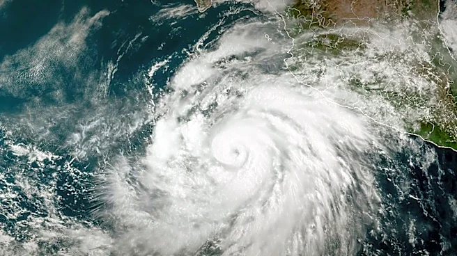
This weather event, characterized by a rapid transition from unusually warm to winter conditions, highlights the increasing variability and intensity of weather patterns. While a single event, it contributes to a broader narrative about climate change and its localized impacts, prompting discussions on resilience and adaptation strategies for communities in regions prone to extreme shifts. The remnants of Tropical Storm Rachel contributing to this precipitation underscore the interconnectedness of global weather systems, where distant tropical events can influence weather far inland. This also brings into focus the economic implications for sectors like tourism and outdoor recreation, which are highly dependent on predictable seasonal weather. The event serves as a practical test of local and state emergency preparedness and communication systems, offering valuable lessons for future weather challenges.