




What's Happening?
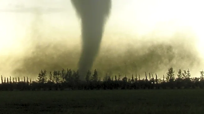
The National Weather Service (NWS) in Milwaukee/Sullivan, Wisconsin, issued a tornado warning on July 27, 2026, effective from 11:18 AM CDT until noon. The warning was issued for southeastern Walworth County, southwestern Racine County, and western Kenosha
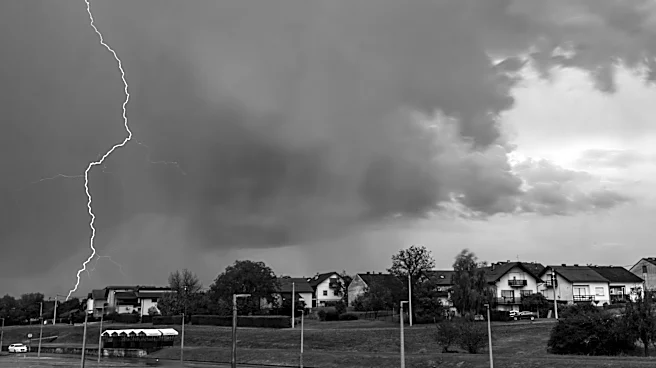
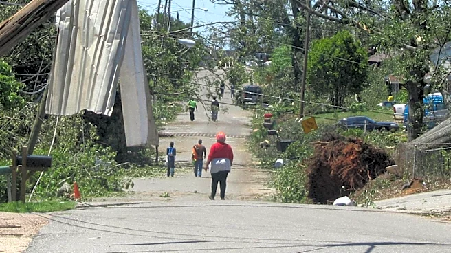
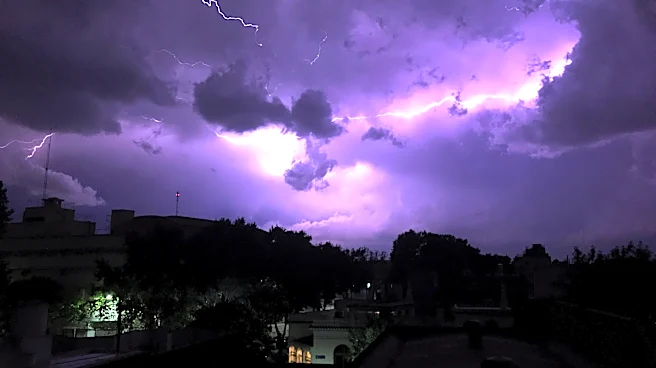
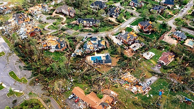
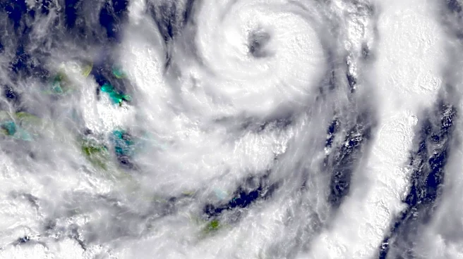
County. A severe thunderstorm capable of producing a tornado was detected near Bohners Lake, moving south at 30 mph. The storm posed significant hazards, including the potential for tornadoes and ping pong ball-sized hail, as indicated by radar. The impact of the storm could be severe, with flying debris posing a danger to those without shelter, and potential damage to mobile homes, roofs, windows, and vehicles. Tree damage was also likely. The storm was expected to affect areas such as Lake Geneva, Twin Lakes, and Wheatland.
Why It's Important?
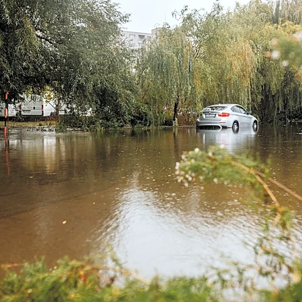
This tornado warning highlights the persistent threat of severe weather in the Midwest, particularly during the summer months when such storms are more frequent. The potential for tornadoes and large hail can lead to significant property damage and pose serious risks to public safety. Communities in the path of the storm must take immediate precautions to protect lives and property. The warning also underscores the critical role of timely and accurate weather alerts from agencies like the NWS, which are essential for disaster preparedness and response. The economic impact of such storms can be substantial, affecting local businesses, infrastructure, and insurance claims.
What's Next?
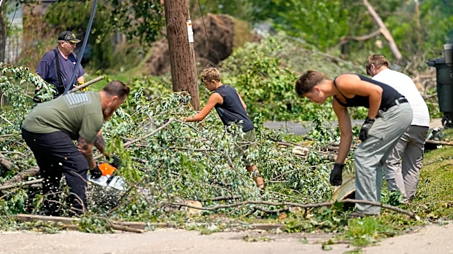
Residents in the affected areas are advised to seek shelter immediately and stay informed through local news and weather updates. Emergency services and local authorities will likely be on high alert to respond to any incidents resulting from the storm. The NWS will continue to monitor the situation and issue further warnings if necessary. In the aftermath, there may be assessments of damage and recovery efforts initiated to assist affected communities.