


What's Happening?
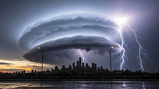
A powerful winter storm is set to hit Los Angeles and Southern California on Presidents Day, bringing heavy rain, strong winds, and potential flooding. The National Weather Service has issued warnings for thunderstorms and possible tornadoes, with the heaviest
rainfall expected by late Monday afternoon. Coastal areas could receive up to 2.5 inches of rain, while the foothills and mountains may see up to 5 inches. A colder storm is expected to follow on Tuesday night, adding more rain to the region. Residents in burn scar areas are under evacuation warnings due to the risk of debris flows. Officials are urging residents to stay indoors and avoid travel during the storm.
Why It's Important?
The storm poses significant risks to the Los Angeles area, particularly in regions affected by previous fires. The potential for flooding and debris flows in burn scar areas highlights the ongoing vulnerability of these communities. The storm also underscores the challenges of managing extreme weather events in urban areas, where infrastructure and emergency services can be strained. The warnings and preparations by local officials aim to mitigate the impact on residents and prevent loss of life. This event serves as a reminder of the importance of disaster preparedness and the need for resilient infrastructure to withstand such natural events.
What's Next?
As the storm progresses, local authorities will continue to monitor conditions and provide updates to residents. Evacuation orders may be issued if conditions worsen, and road closures are likely in affected areas. The aftermath of the storm will require assessment of any damage and potential recovery efforts. Residents are advised to stay informed through official channels and prepare for possible power outages and disruptions. The response to this storm will also inform future strategies for dealing with similar weather events, emphasizing the need for community resilience and effective emergency management.