
What's Happening?
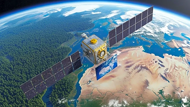
Landsat 9, a collaborative mission between NASA and the U.S. Geological Survey (USGS), continues to provide high-resolution images of Earth's surface, aiding in the monitoring of environmental changes.
Launched in 2021, the satellite is equipped with advanced sensors capable of capturing images in both visible and infrared light. These images help scientists track various environmental phenomena, including shrinking glaciers, shifting coastlines, urban expansion, and desert dynamics. A recent image from Landsat 9 showcases the Tarim Basin in China, highlighting the intersection of desert winds and glacial meltwater. The satellite's Operational Land Imager-2 (OLI-2) instrument captured the Mazartagh Ridge, which acts as a natural barrier against the winds of the Takla Makan Desert. The Hotan River, visible in the image, carries glacial meltwater into the desert, supporting vegetation along its banks and historically serving as a source of nephrite jade.
Why It's Important?
The data provided by Landsat 9 is crucial for understanding and responding to environmental changes on a global scale. By tracking phenomena such as glacier shrinkage and urban expansion, scientists can better predict future environmental shifts and develop strategies to mitigate their impacts. The satellite's ability to capture detailed images of remote regions like the Tarim Basin also aids in preserving historical and cultural sites, such as those along the Silk Road. The information gathered can inform policy decisions related to climate change, resource management, and conservation efforts, benefiting both local communities and global stakeholders.
What's Next?
Continued monitoring by Landsat 9 will provide valuable insights into ongoing environmental changes, supporting efforts to address climate-related challenges. The satellite's data can be used to enhance predictive models and inform international cooperation on environmental issues. As scientists analyze the images, they may uncover new patterns and trends, prompting further research and potentially leading to technological advancements in satellite imaging and environmental science.
Beyond the Headlines
The use of satellite imagery like that from Landsat 9 raises important ethical considerations regarding privacy and data usage. As technology advances, the ability to monitor remote regions and track environmental changes must be balanced with respect for local communities and their rights. Additionally, the long-term implications of environmental monitoring could influence cultural preservation efforts, as regions with historical significance are documented and protected.