



What's Happening?
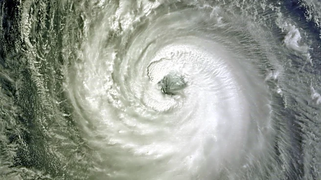
Tropical Storm Chan-hom is approaching Japan and is expected to make landfall in the Kanto region, including Tokyo, on Tuesday evening. As of Tuesday morning, the storm was located 230 kilometers east of Iwaki City in Fukushima Prefecture, moving west-northwest
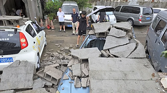
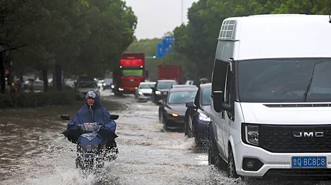
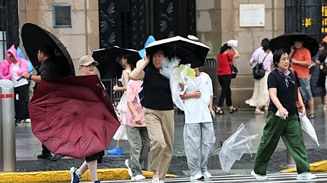
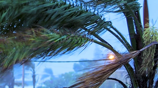
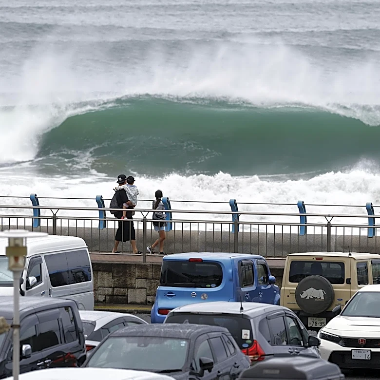
at 30 kilometers per hour. The storm is generating sustained winds of up to 82.8 kilometers per hour, with gusts reaching 126 kilometers per hour. Weather forecasters warn of heavy rain, high winds, and high waves, particularly in the eastern and northeastern parts of Japan. The Meteorological Agency has issued warnings for potential landslides, flooding, and other severe weather conditions.
Why It's Important?
The approach of Tropical Storm Chan-hom poses significant risks to the Kanto region, a densely populated area that includes Tokyo. The potential for heavy rainfall and strong winds could lead to disruptions in public transportation, damage to infrastructure, and increased risk of natural disasters such as landslides and flooding. The storm's unusual westward trajectory adds to the unpredictability of its impact. Authorities are urging residents and travelers to stay informed about weather advisories and to take necessary precautions. The storm's impact could have broader implications for Japan's disaster preparedness and response strategies.
What's Next?
As the storm approaches, local authorities and emergency services are likely to increase their preparedness efforts, including issuing evacuation orders if necessary. The public is advised to monitor weather updates and heed warnings from the Meteorological Agency. In the aftermath of the storm, there may be assessments of damage and recovery efforts, particularly in areas most affected by severe weather. The situation will also be closely monitored by international observers, given the potential for significant impact on one of Japan's key economic regions.