




What's Happening?
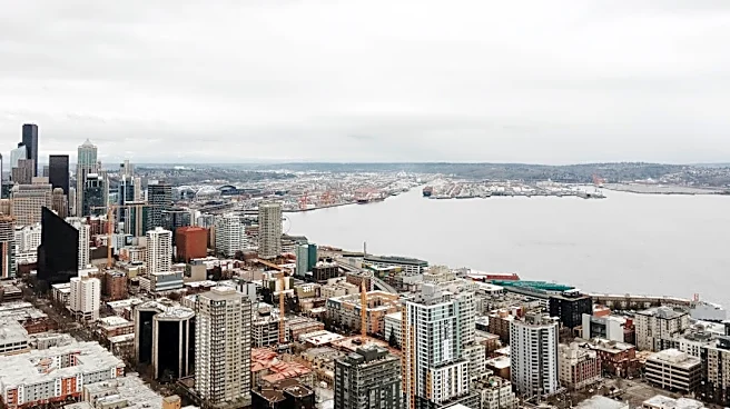
The Seattle metropolitan area is experiencing a shift in weather patterns, moving from a rainy and cool Sunday to a week of sunshine and warmer temperatures. A disturbance brought moderate to heavy rain across the region on Sunday morning, with breezy
winds gusting up to 25 mph. This rainfall, particularly over summer wildfire areas, has prompted a Flood Watch due to the potential for debris flows. However, conditions are expected to clear overnight, leading to a significant change in the forecast. Overnight lows are predicted to be near 50 degrees Fahrenheit. By Friday, temperatures are anticipated to reach close to 80 degrees Fahrenheit, marking a substantial increase from the weekend's cooler weather. The improved weather conditions are also expected to be favorable for the Huskies' upcoming home game on Saturday.
Why It's Important?
This weather transition holds importance for several aspects of daily life and regional activities in the Seattle area. The initial heavy rainfall and associated Flood Watch highlight ongoing environmental concerns, particularly the vulnerability of areas affected by summer wildfires to debris flows, posing risks to infrastructure and public safety. The subsequent shift to warmer, sunnier weather will likely boost outdoor activities and local businesses that rely on favorable conditions, such as tourism and recreation. For residents, the change from 'fall-like' conditions to nearly 80-degree temperatures by Friday signifies a return to more pleasant weather, potentially impacting mood and daily routines. The mention of the Huskies' home game benefiting from good weather underscores the economic and social significance of local sports events, which often draw large crowds and contribute to the local economy. This weather pattern also serves as a reminder of the dynamic and sometimes extreme climatic conditions experienced in the Pacific Northwest.
What's Next?
Following the clearing of Sunday's rain, the Seattle area can anticipate a week dominated by sunshine and increasing temperatures. The Flood Watch, issued due to potential debris flows over summer wildfire areas, will be monitored through Sunday night. As the week progresses, temperatures are forecast to steadily rise, with highs nearing 80 degrees Fahrenheit by Friday. This warming trend suggests a period of stable and pleasant weather for the region. The improved conditions are expected to continue into the weekend, providing an ideal setting for outdoor events, including the Huskies' next home game on Saturday. Residents and local authorities will likely continue to observe weather patterns, especially concerning any lingering effects of the Flood Watch, but the primary outlook is for a significant and welcome change to warmer, drier conditions.
Beyond the Headlines
The rapid shift in weather from a 'soggy Sunday' to a warm, sunny week in Seattle underscores the broader implications of climate variability and its impact on urban environments. The Flood Watch in areas affected by summer wildfires highlights the increasing frequency and intensity of such events, leading to long-term ecological and infrastructural vulnerabilities. This situation points to the need for enhanced urban planning and disaster preparedness strategies that account for both immediate weather hazards and the cascading effects of climate change. Furthermore, the economic boost expected from favorable weather for outdoor activities and sports events illustrates the delicate balance between environmental conditions and local commerce. The reliance on good weather for significant public gatherings, like college football games, reflects how climate patterns can directly influence community engagement and economic vitality. This scenario subtly emphasizes the ongoing adaptation required from communities in the face of evolving environmental challenges.